
TRIP REPORT: South Sister Summit via Devil’s Lake Trailhead
WHEN: June 10, 2024
WHERE: From Bend, travel 28.7 miles west on Cascade Lakes Hwy (46) to the Devils Lake/South Sister Trailhead. There is still a bit of snow in the parking lot, as of 6/10, half of the One-Way loop was still covered in a couple feet of snow, but it will melt out soon!
START/END: Cascade Lakes Highway, off-road parking area next to Devil’s Lake
ROUND TRIP DISTANCE: 13 miles
TRIP TIME: 12 hours (I’m slow and post-holing is REAL!!)
CONDITION: Open
PERMITS: A NW Forest Pass is required to park in the Devil’s Lake parking lot (I still display mine when parked on CCL Hwy).
Central Cascades Day and Overnight Use permits required June 15-October 15**
**NOTE: The trailhead from Devil’s Lake is currently CLOSED for repair!! The posted sign suggests accessing the South Sister climbing trail via the Wickiup trail at the south end of the parking lot. However, this can add distance and a bushwhacking adventure, so I, along with everyone else, decided it made more sense to park on the south side of Cascade Lakes Hwy next to Devil’s Lake in what usually serves as the overflow section for the Devil’s Lake Parking lot. Hopefully the rest of the trail will be rehabbed soon, as neither of these options are the best solution.
TRIP REPORT
After sleeping overnight at the Devil’s Lake trailhead, I relocated my car to the south side of Cascade Lakes Hwy so as not to have to do the detour or trespass on a closed trail. We (my trusty 4-legged companions and I) started around 7:15, but, considering the predicted warm temps for the day, we should’ve started at least an hour earlier. Post-Holing is REAL!! There was snow at the official trailhead, but not enough coverage to ski from there, so I strapped the skis to my pack and started the trek uphill via the hiking trail.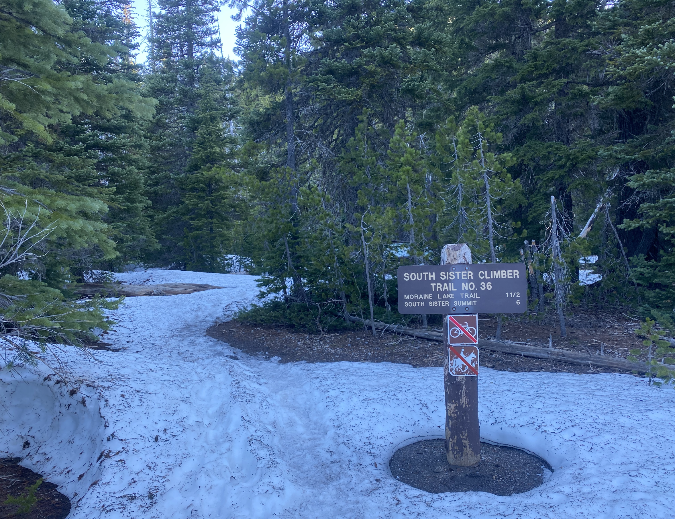
South Sister Trailhead
This early in the season the skin track to Moraine Lake loosely follows the official hiking trail, but when there’s enough snow coverage, as there was after the first ?-ish mile, the skin track loosely hugs the unnamed seasonal creek to the west of the official trail, skipping most of the switchbacks. 30 min into our journey we arrived at the giant square rock, the landmark that always lets me know I’m on the right path, even though I can’t see the trail!
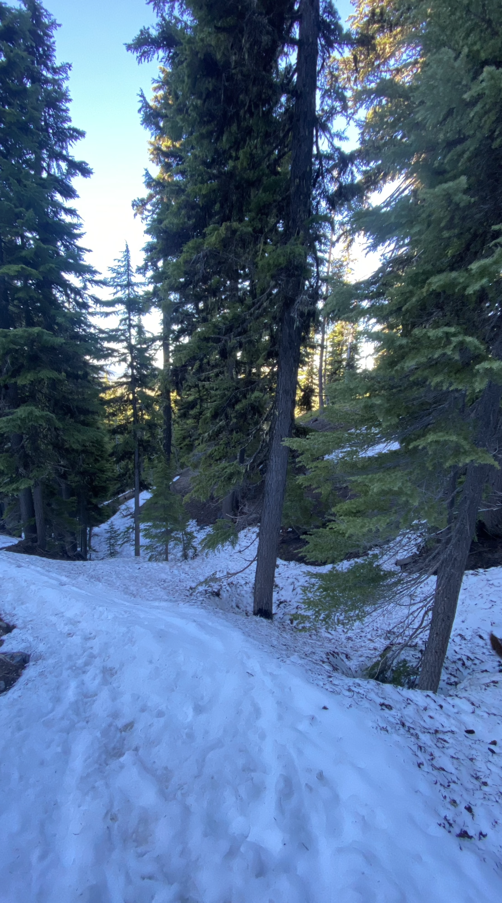
Good coverage on the skin track
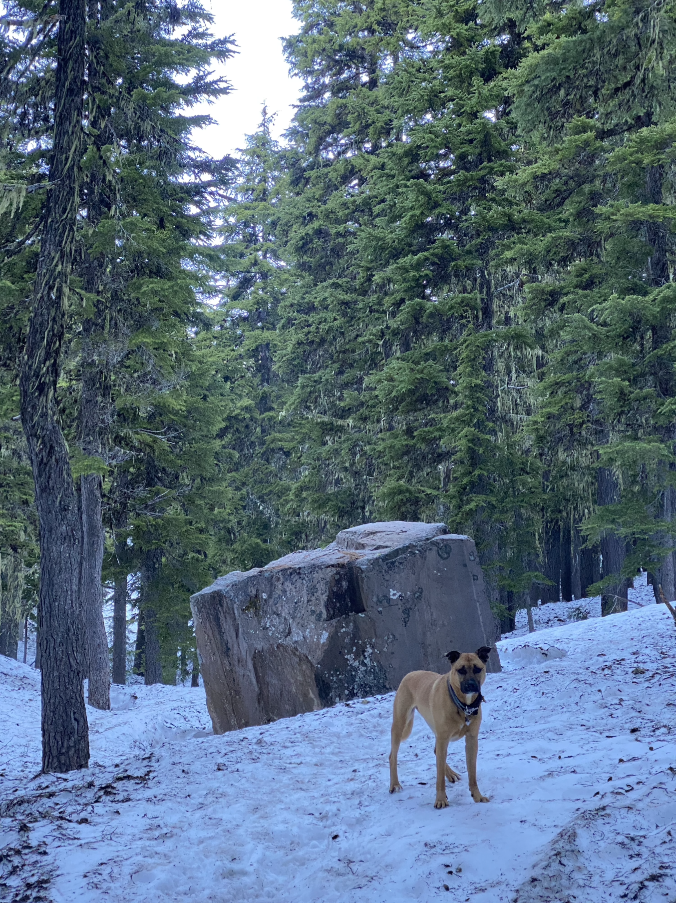
Square rock
From here the snow coverage was full, but scrappy and steep for uphill travel, so I chose to leave the skis strapped to my pack until we climbed out of the trees at the Moraine Lake junction. The first view of the Mountain indicated that I would be able to ski up most of it since snow coverage was great, all the way to the top of the crater rim!
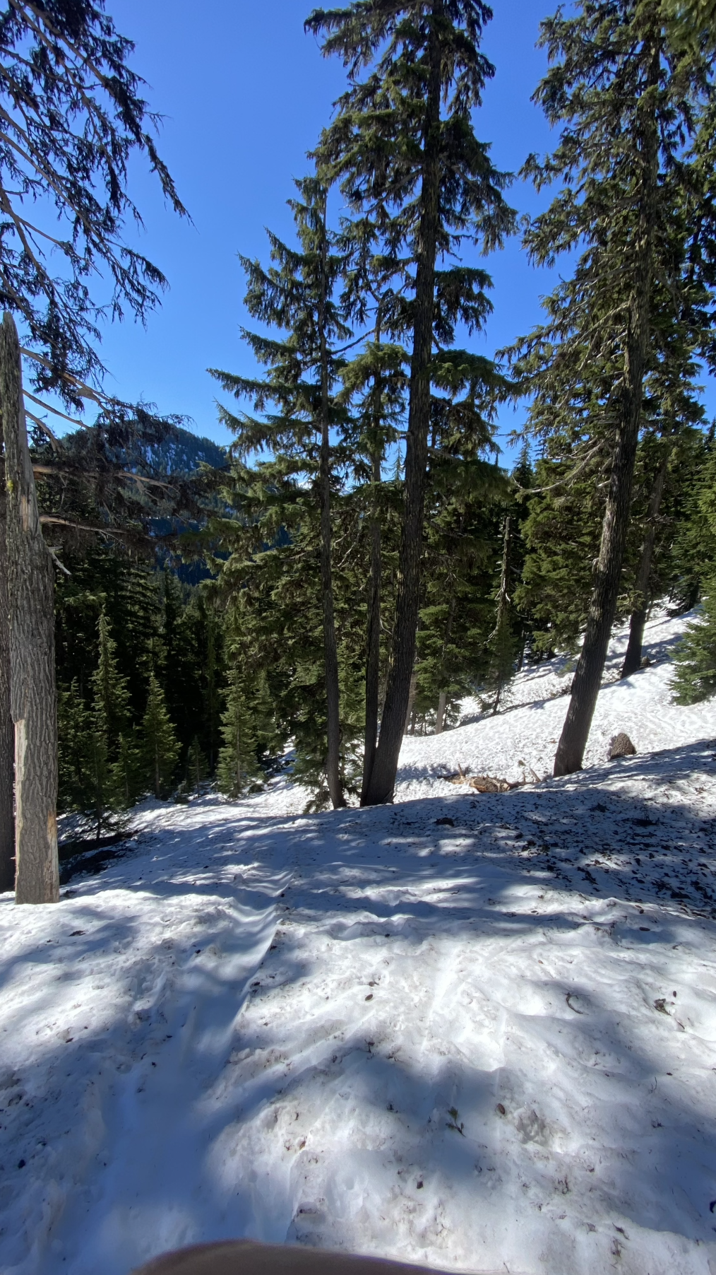
Topping out of the trees
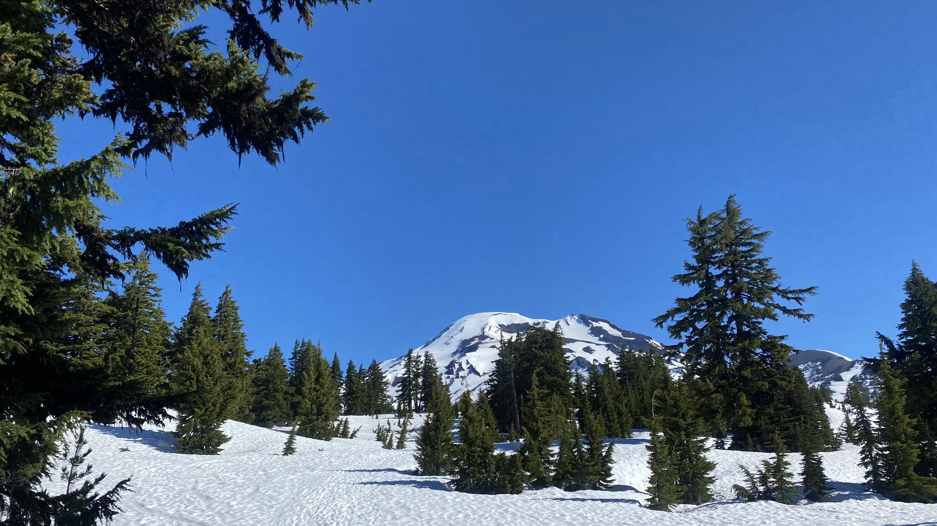
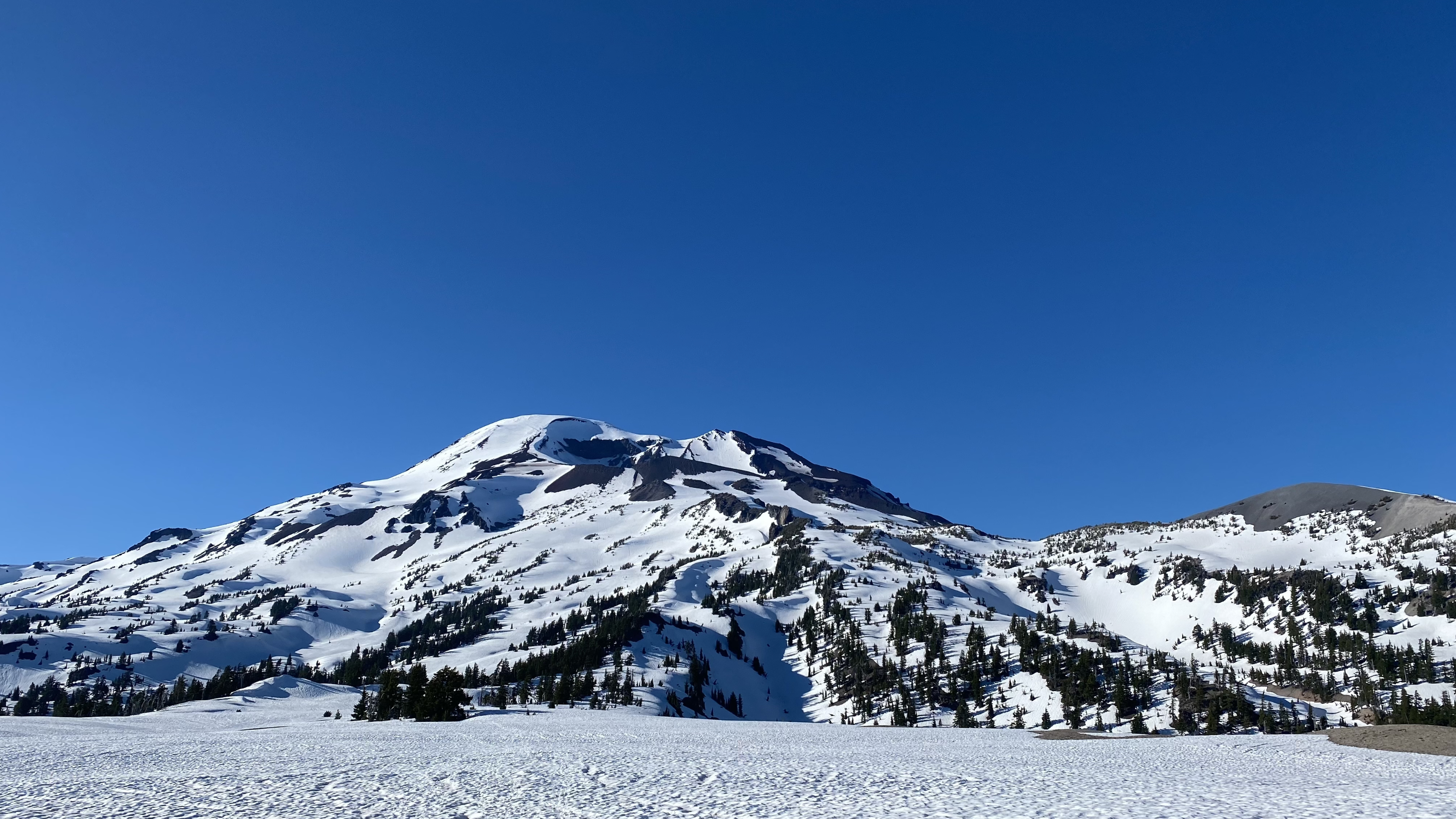
First view of South Sister
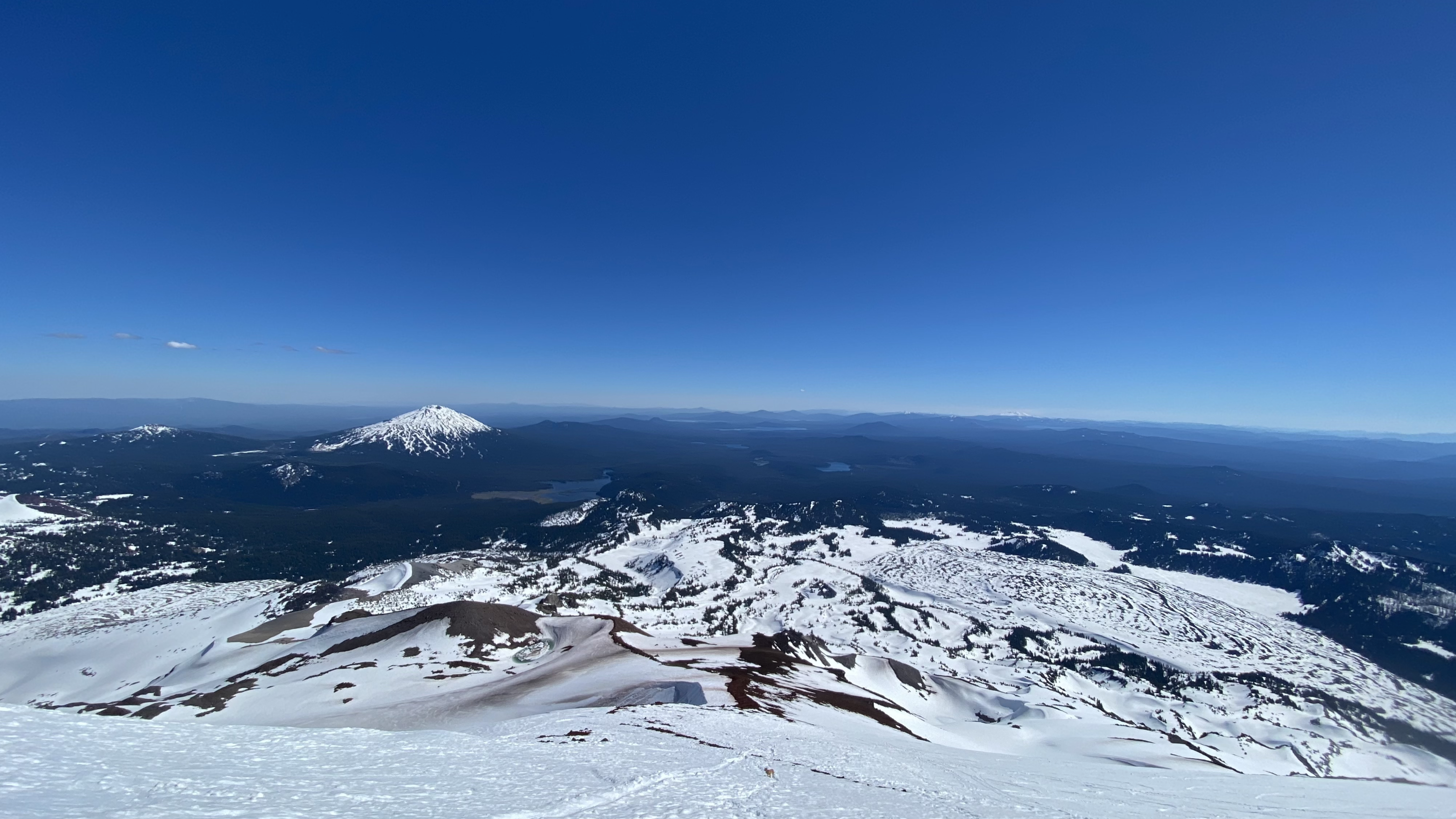
Forging on, the trail gave way to a lovely view of Broken Top, but always keeping South Sister and the crater rim in sight! We reached the 8000 foot mark around 11:00 and the snow became too soft to continue skinning, so I parked my skis in a safe place and forged onward in my ski boots. When we reached the false summit, I was delighted to see that we could safely continue our uphill journey on snow just to the east of the switchbacking trail through the scree, therefore, my ski boots were perfect for the trek!
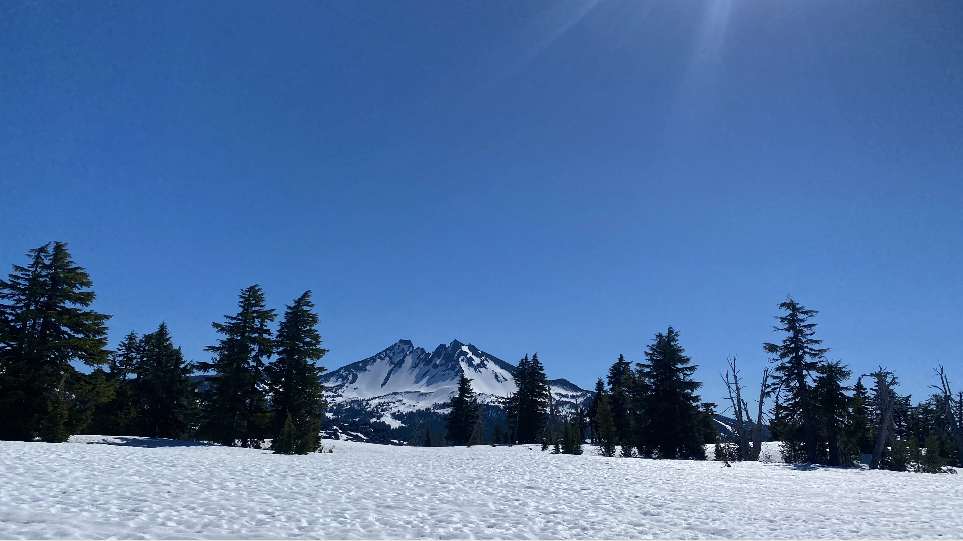
Broken Top
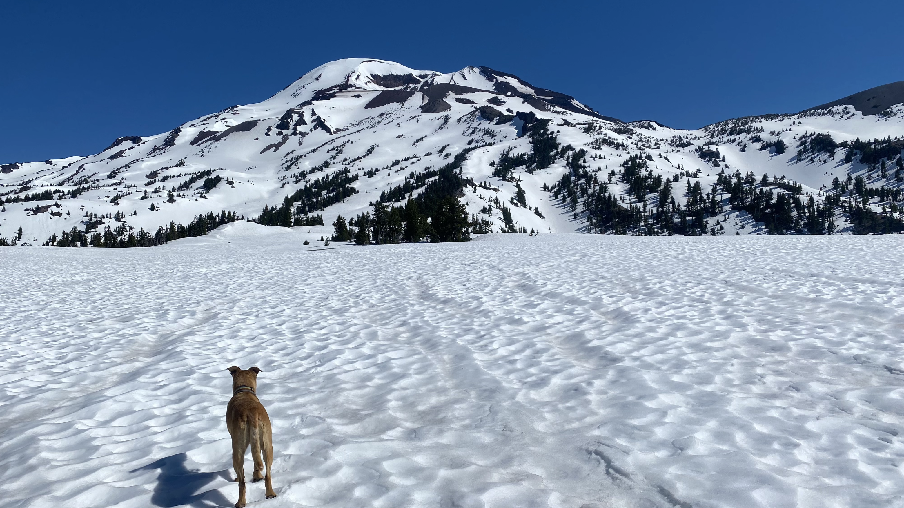
Taking in the view, getting closer
Trail to the rim
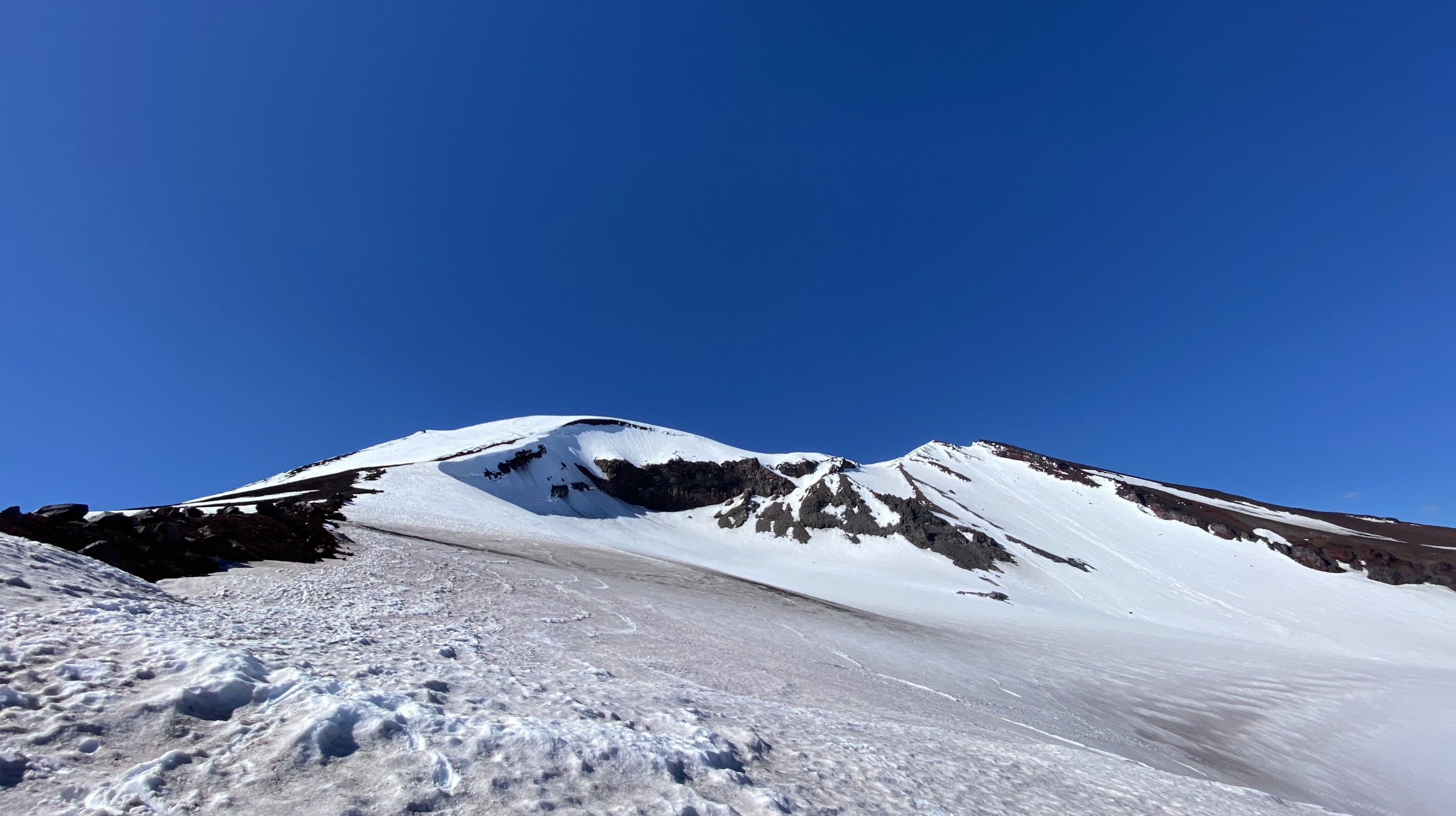
We reached the 9800 foot mark around 1:30 in the afternoon, and this final pitch before topping out was VERY soft! It took a bit of effort to find/make a good bootpack that didn’t result in 2 foot deep post-holing, so this section was pretty rough! Ski boots, pole and Whippet with an ice axe attachment were adequate for this part of the trek, however, if it were colder/firmer, cramp-ons and an ice axe would be highly recommended!
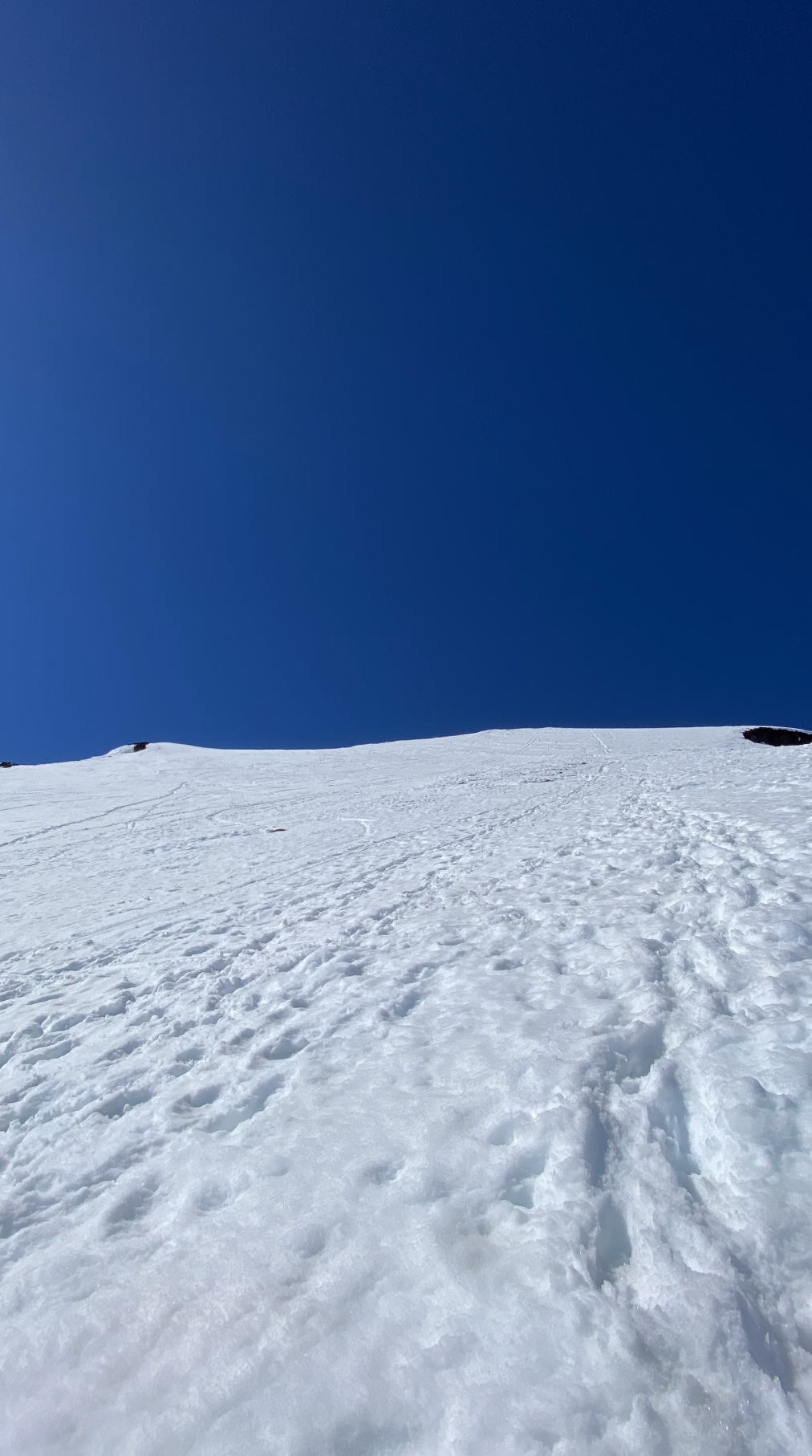
Final push to the top-out
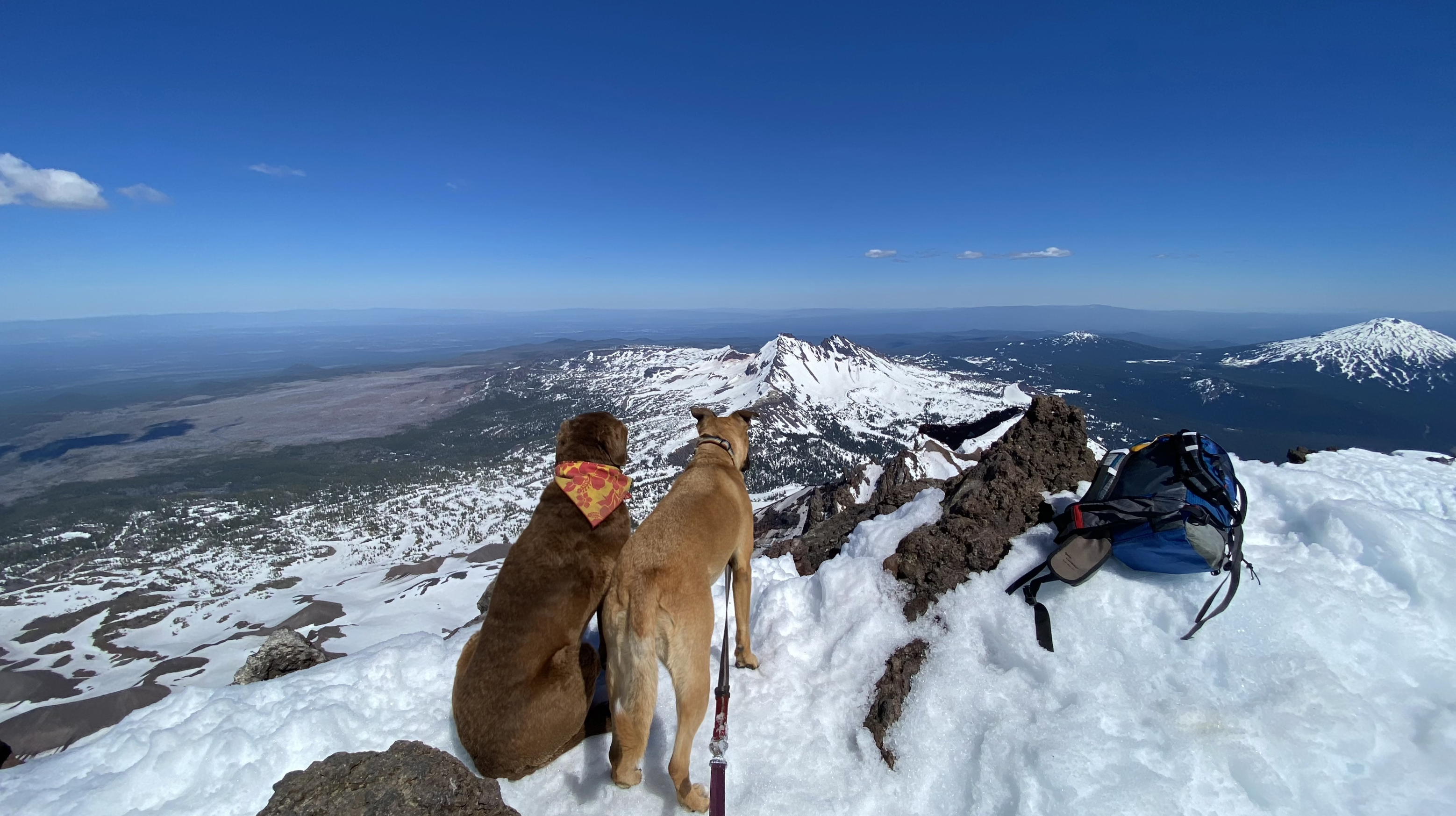
After topping out on the crater rim, it’s still a 15-30 min trek over to the true summit where the views of Middle, North Sister, Broken Top and Mt. Bachelor, etc. can’t be beat.
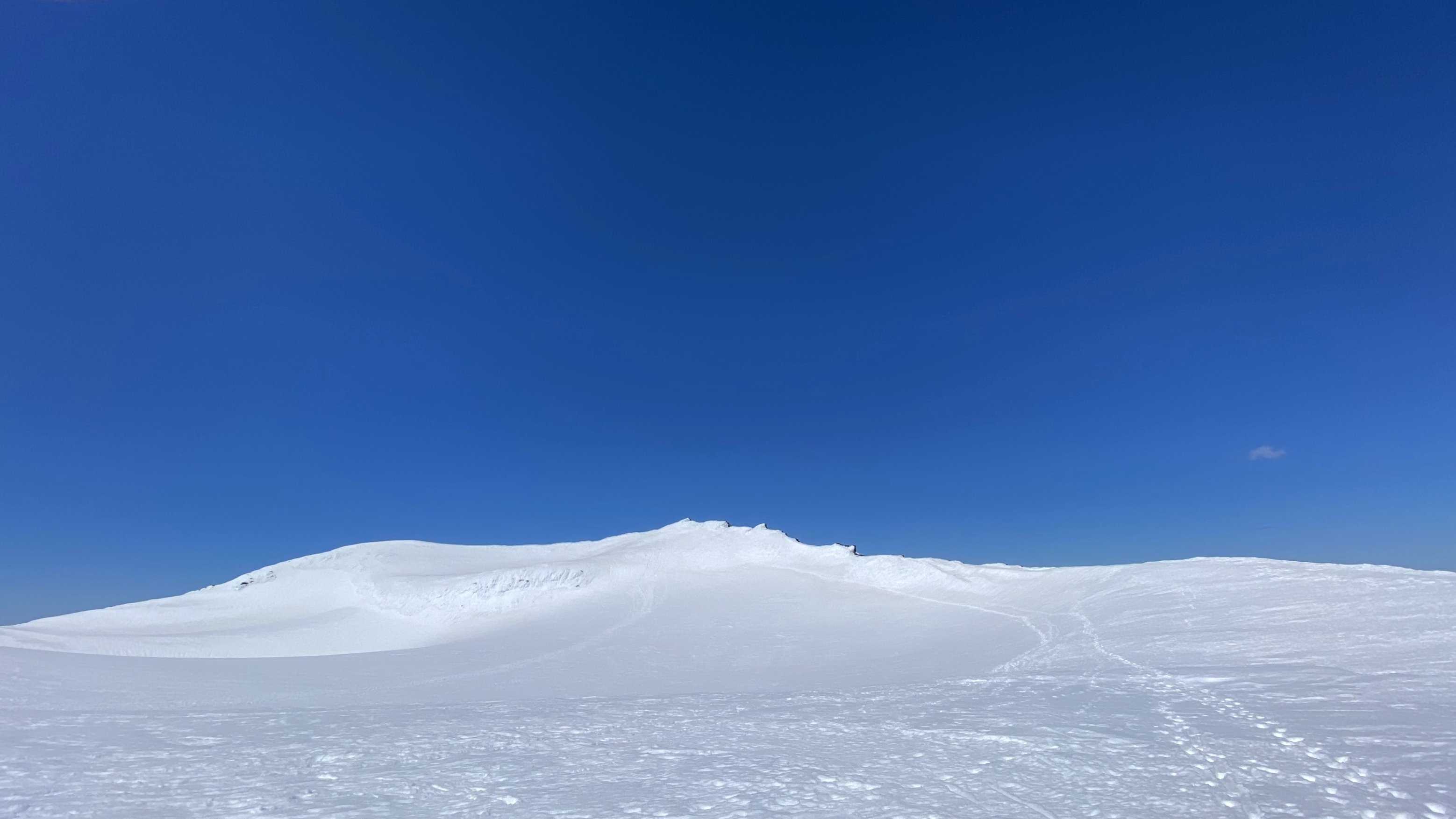
Trek across the crater rim to the true summit
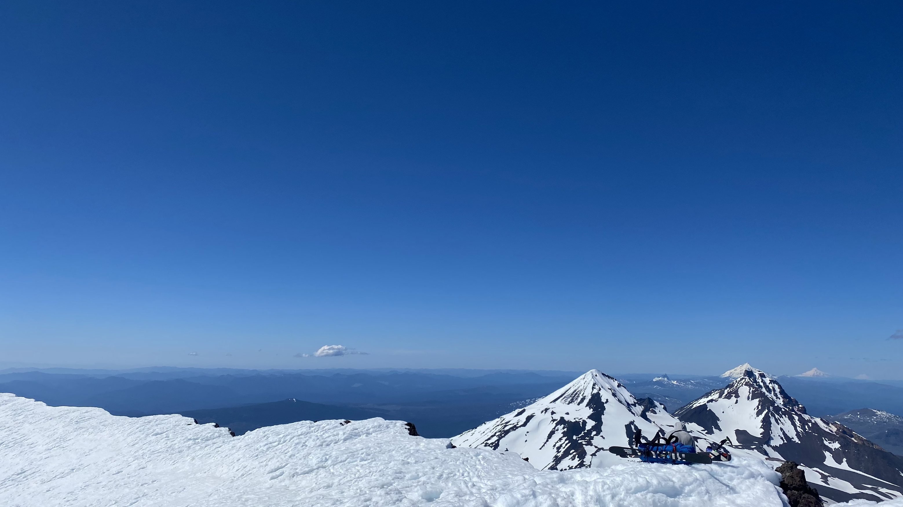
Middle and North Sisters
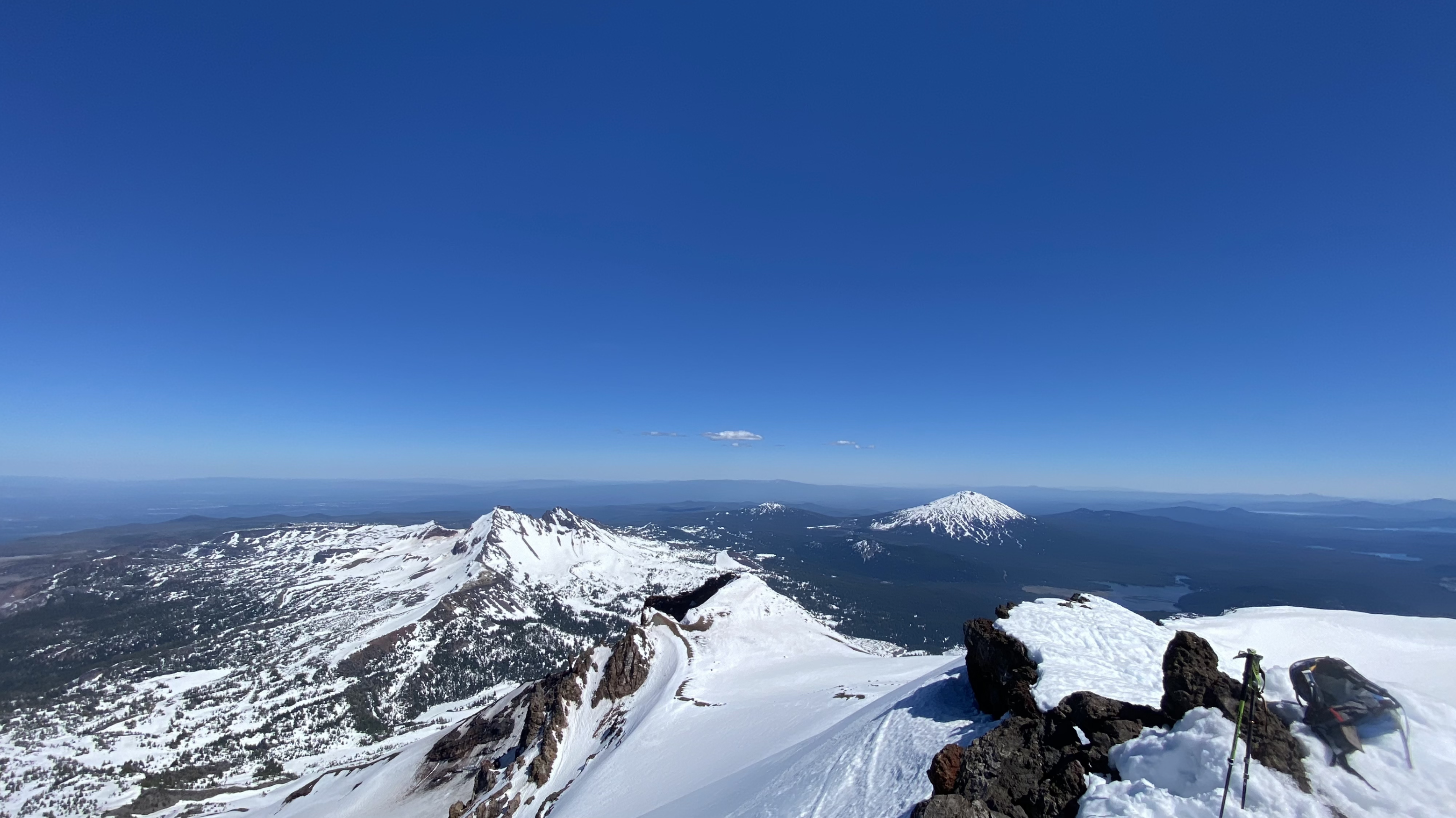
Broken Top and Mt. Bachelor
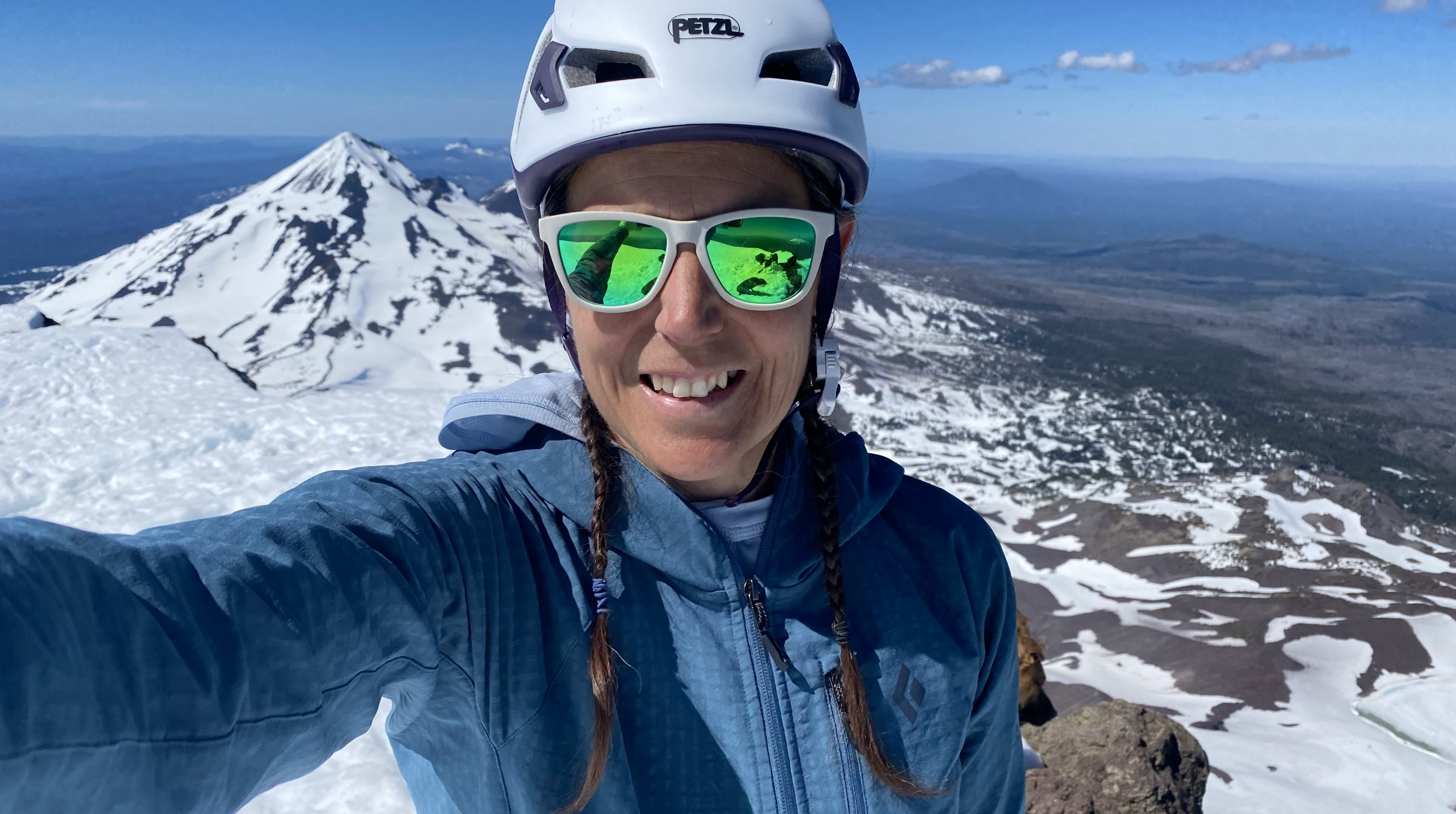
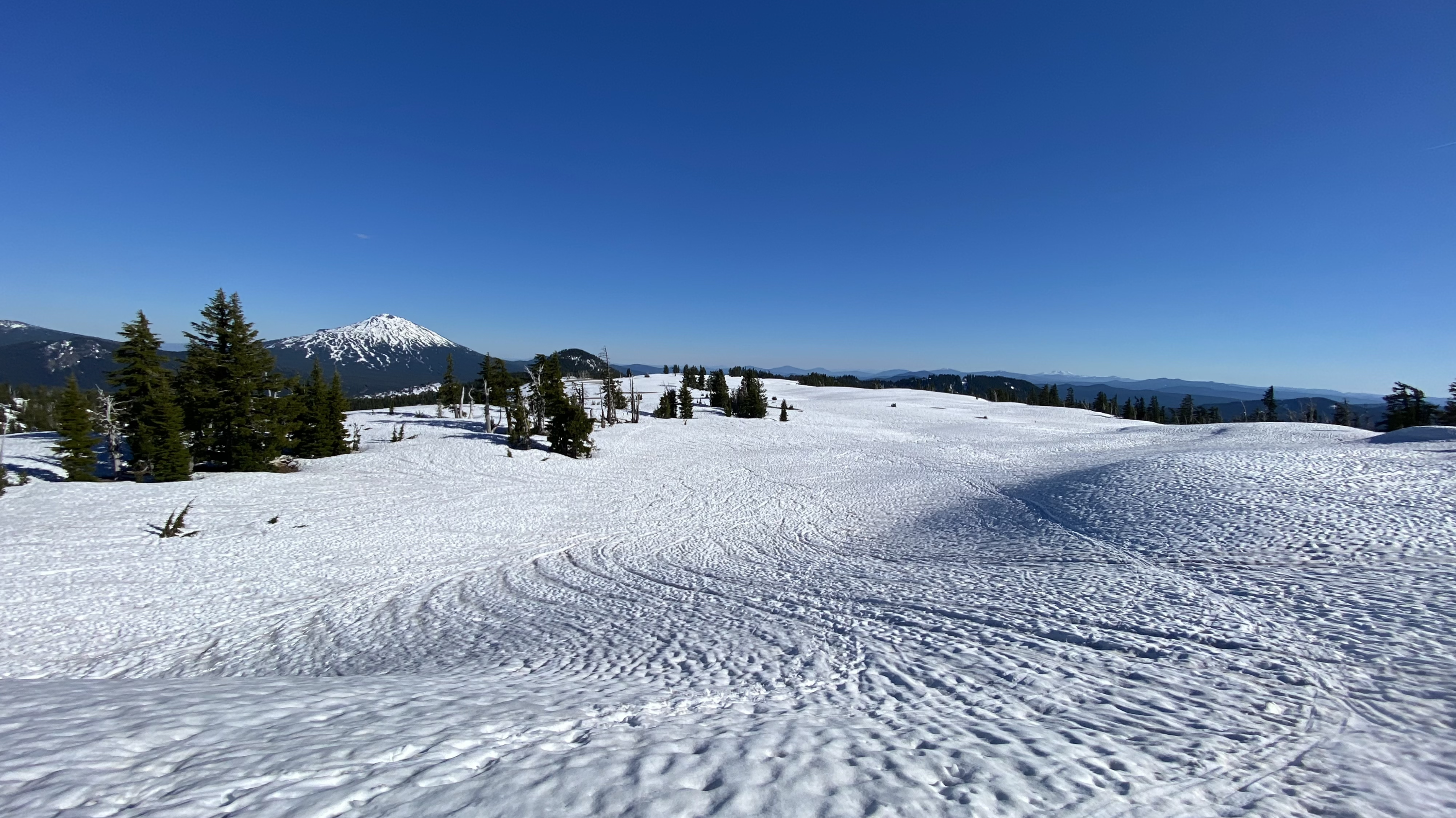
After a well earned snack break the dogs and I tore ourselves away from the beautiful view to start our descent. We descended on snow all the way down to the false summit, then again down to my skis. The snow was perfectly soft for skiing all the way back down to the Moraine Lake junction, and the late afternoon view of South Sister was beautiful (17).
Taking in the view
Ready for the trek down
Trek down to the false summit, wishing for my skis
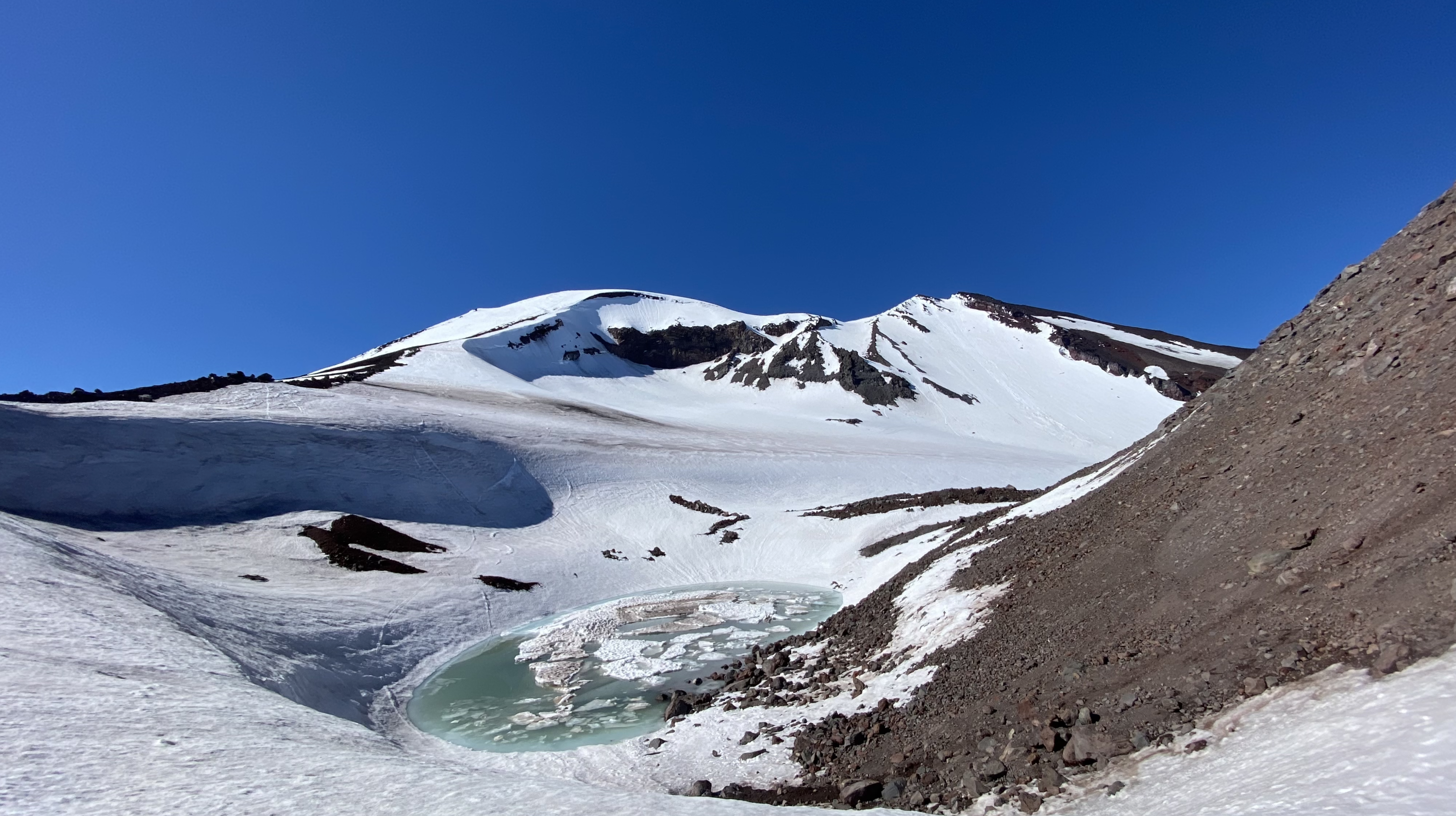
Tarn lake at the false summit
Final Mountain view
The trail gets a little flat in the area above Moraine Lake, but the snow was just right for sliding forward without having to put my skins back on. When we reached the treeline, the downhill ski path was very narrow and getting a bit icy, so I chose to strap my skis back onto my pack for the first ¼ mile of this section. Once we were out of the super steep area, I put the skis back on and happily skied down most of the way until a couple hundred yards past the Square rock! I strapped the skis back on my pack and slogged the final bit back to the car.
Skiing down
Mosquito Report:
Perhaps they weren’t awake yet, but there were ZERO mosquitoes at the beginning of the day. However, it was a very different story by the end of the day and they were out in full force, swarming me while I frantically packed up my car to drive home! They are hatching and will soon likely be something to contend with for the next month or two as the snow melts out. (Deet-Free Natrapel (20% Picaridin) is my preferred first line of defense. When that fails, I go straight up Ben’s 100 (100% Deet!)) I did not use either on this trip!
Gear:
Ski Boots: Salomon S-Lab/MtnSki Socks: Darn Tough W’s Peaks ULW OTC
Skis: Black Crows Camox Freebird
Bindings: Dynafit ST Rotation 10
Skins: Black Diamond Ascension
Tools: Black Diamond Whippet, Petzl Ride Ice Axe, Dynafit adjustable poles
Ski Pack: Cilo Gear 30Z Ski
Shirt: Outdoor Research Echo Sun Hoodie
Shorts: Territory Run Co. Long Haul Shorts
Hat: Territory Run Co. Mountain Shop custom Long Haul Cap
Helmet: Petzl Meteora
Sunscreen: SPF 60 sunscreen and SPF 30 lip balm, sunglasses (Goodr Yosemite)
Snacks: Trail Butter Lil’ Squeezes, Trail Butter Granola, Gu Salted Watermelon Gel, Gu Cola me Happy Gel, Homemade breakfast sandwich