Diamond Peak Trail Run Circumnavigation
A rewarding run on a beautiful high alpine trail that passes through old growth timber, lush green forest, open rocky areas, numerous lakes and dense fields of huckleberries!
- Date: August 28, 2023
- Distance: 22.6 miles
- Elevation gain: 4200 ft
- High Point: 7,000 ft
- Start/Finish: Diamond Peak North Loop
- Duration: Approximately 7 hours

Path taken around Diamond Peak

Elevation profile
Logistics:
A Northwest Forest Pass does not appear to be needed at the Diamond Peak North Trailhead, but this is subject to change. One must fill out a self-issue Wilderness permit to travel anywhere in the Diamond Peak Wilderness between June 15th and October 15th. The best/easiest/most car friendly way to approach the Diamond Peak loop is from the Diamond Peak North Trailhead.

Trailhead
Get there via Kitson Springs road/Forest Rd 23, which is located 2 miles east of Oakridge off Hwy 58, just south of Eugene. Be sure to check/confirm directions from multiple sources! Notably, unless you want to practice your off road white-knuckle driving skills, DO NOT attempt to access the Diamond Peak loop trail from roads that travel past Summit Lake, NO matter what your Map App says! Rumor has it this approach is worse than the Todd Lake road to Broken Top! (Yeah, that road!) It appears that Diamond Peak can also be reached from the south via Diamond Lake Hwy/Hwy 138, but I have yet to confirm this approach!
The Adventure:
The Diamond Peak circumnavigation has been on my list for quite some time, but has been thwarted the past couple summers for various reasons, most notably the Waldo Lake fire that shut down the area for most of the summer and fall last year. Being forced to evacuate my own house because of a nearby fire and AQI levels over 500, I was presented with a good opportunity to squeeze in this adventure. Although the circumnavigation can be done as a multi-day backpacking trip, which would be a wonderful hike, the 22.6 mile distance makes this a completely doable 1 day trail run. I chose to go counterclockwise on the loop because it maximizes the daylight and generally allows avoidance of most of the harsh afternoon sun. The Diamond Peak North Trailhead, located on the west side of the Mountain, is the closest tie-in distance to the loop trail, being only a short, steep mile uphill to make the connection. Upon meeting up with the loop trail, follow the Diamond Peak Trail (Trail 3699) south toward Rockpile Trail and Marie Lake.
.png)
Diamond Peak Trail (joining up with the loop)
The trail climbs steadily for about 8 miles to the junction with the Rockpile trail, passing through lush, green forest and several disappointingly dried up creek beds along the way.
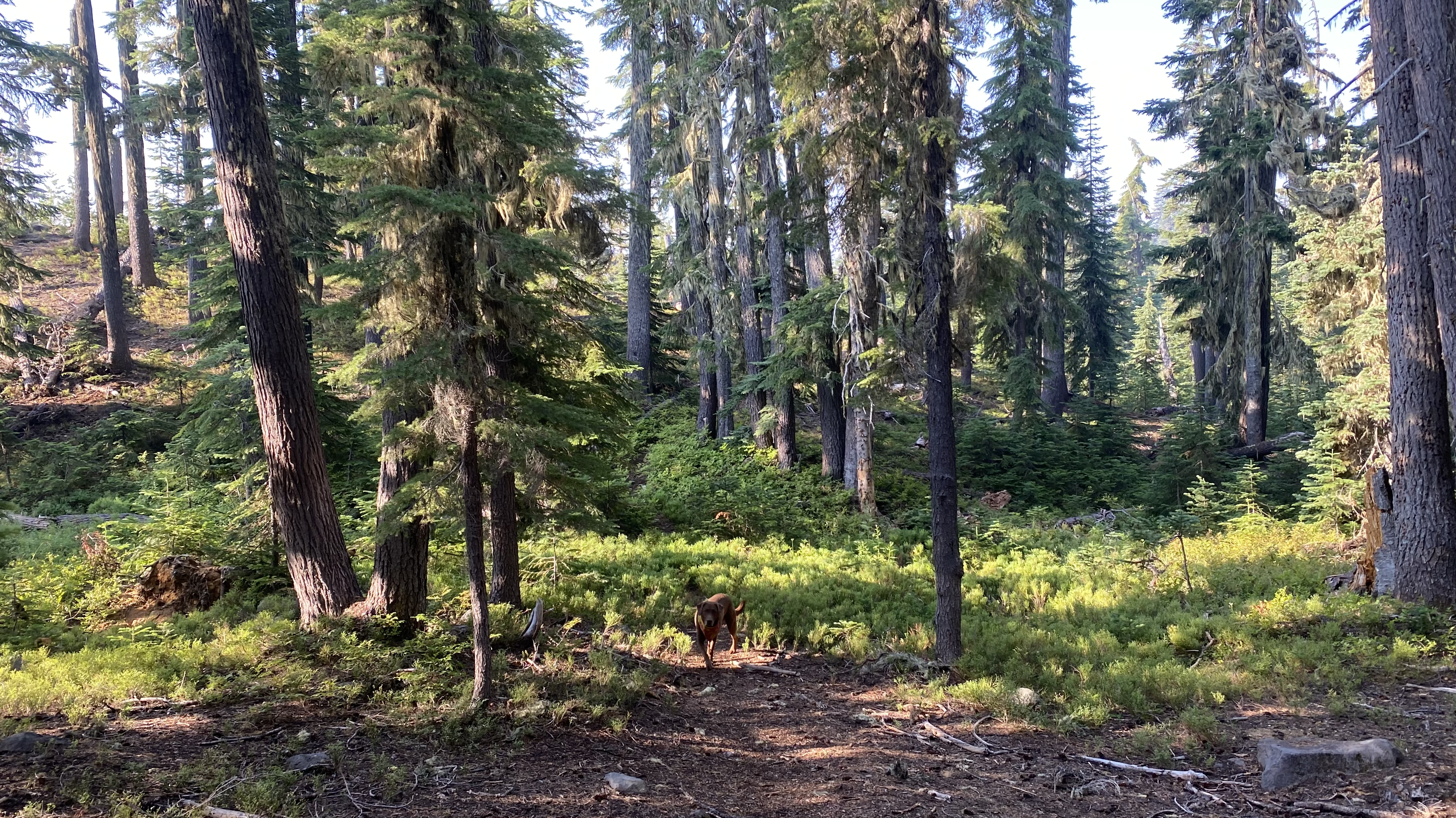
Forested path

Dried up creek
These dried up creeks could make for some adventurous water crossings if this route is done earlier in the season! Head east on the Rockpile trail another 2-ish miles to the PCT, passing the trails that lead to Marie and Rockpile Lakes along the way. Use caution to ensure you stay on the intended loop instead of taking one of the several side trails that lead away from the loop to the trailheads along the west side of the Mountain. The trail is very well marked!
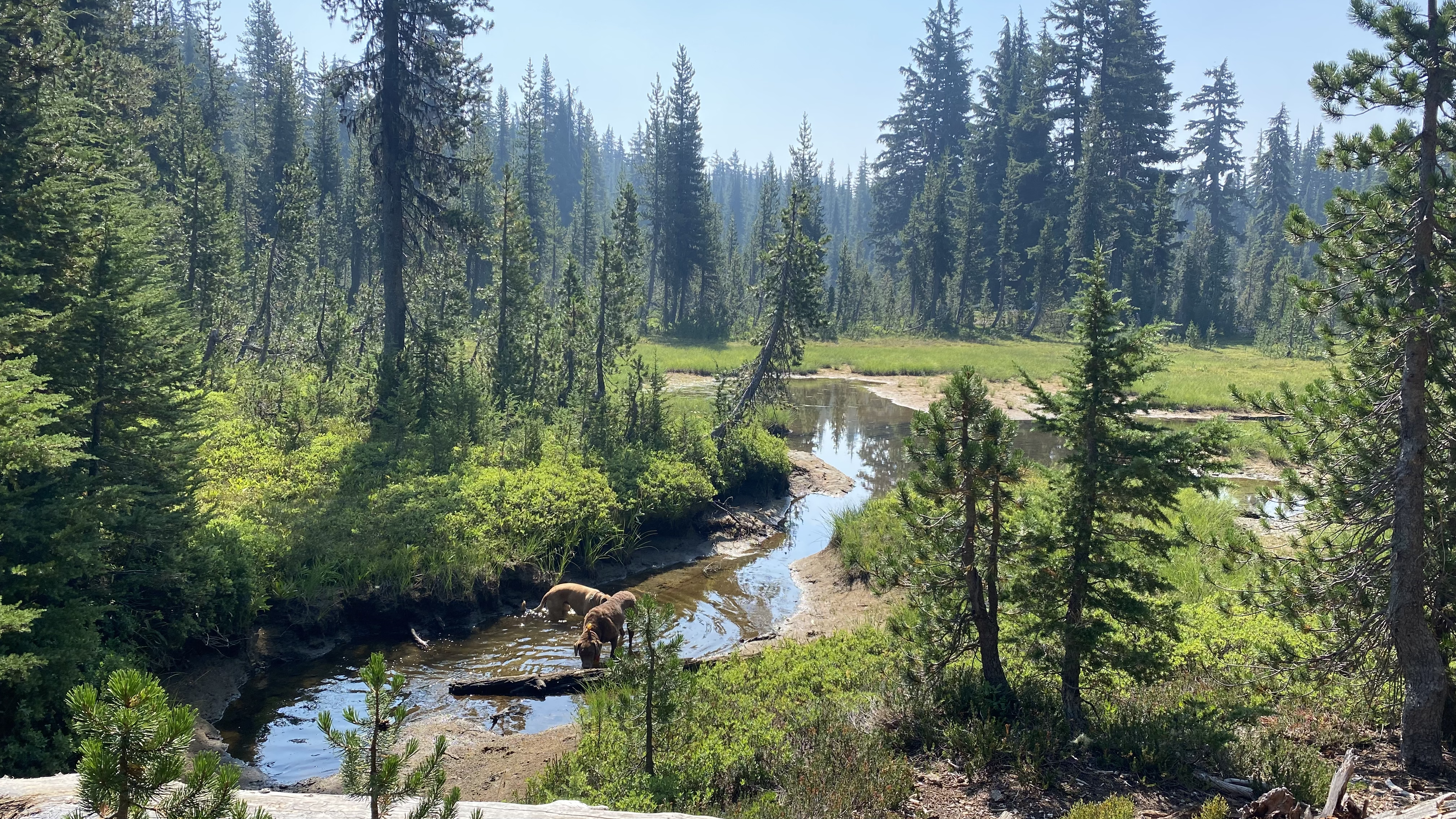
Creek that flows into Marie Lake

PCT Junction
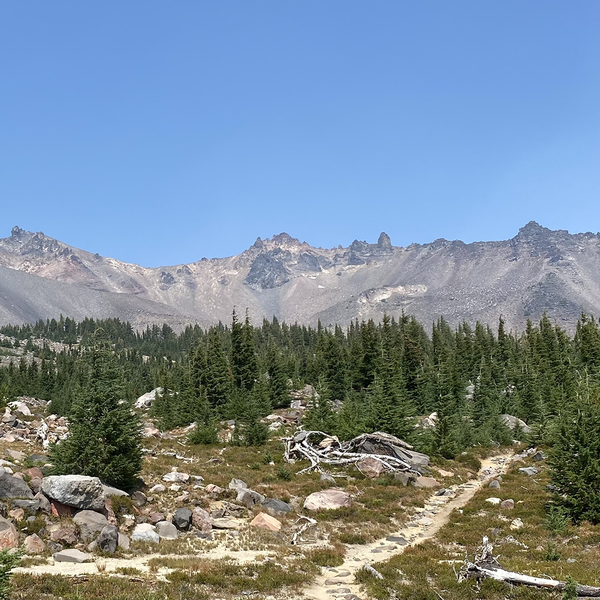
Head north on the PCT uphill to the junction where one can choose to continue around the Mountain or add in a bonus climb of Diamond Peak. Unfortunately, it was getting warm and this section of trail is more open and dusty, so climbing the peak was not in the cards this time! After reaching the high point around 7,000 ft, the trail drops down around the east side of the Mountain flowing through open, rocky, dusty terrain.

East side of Diamond Peak on the PCT
Eventually the trail enters back into the forest, where it continues to drop down, passing by Mt. Yoran and Divide Lake, another beautiful watering hole!

Mt. Yoran looming in the distance
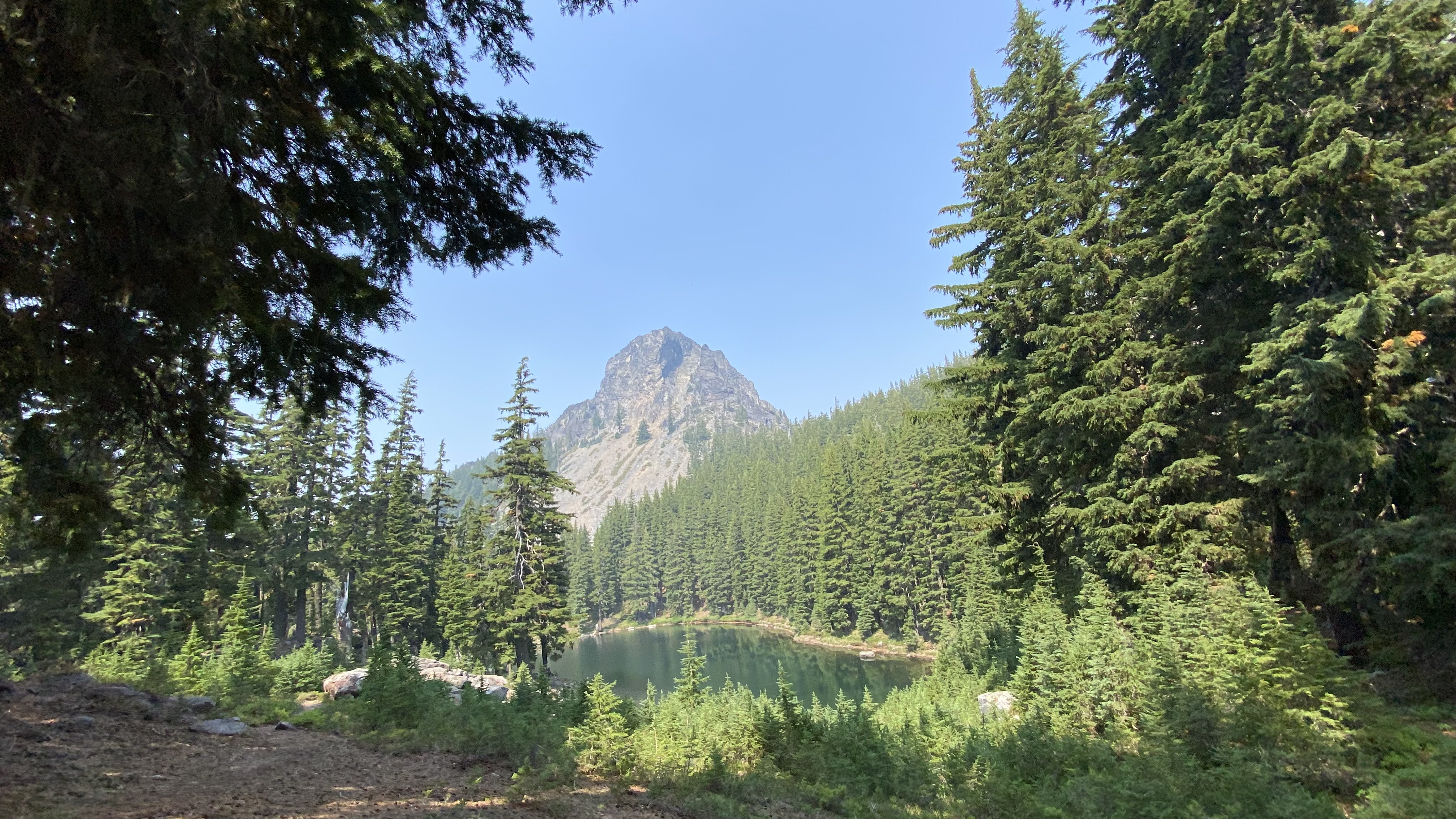
Divide Lake at the base of Mt. Yoran
The last few miles of trail flow mostly downhill through deep green forest, several small lakes and waist-high fields of huckleberries!

Waist-high huckleberries
Lucky for me some of them were even ripe! Upon completion of the loop, head back downhill toward Forest road 23 to the Diamond Peak North Trailhead. *At the time of this adventure I encountered a yellow jacket nest at the Trailhead, and could hear them steadily buzzing throughout most of the trail. Therefore, breaks were short and not as casual as I would have liked them to be. Overall I’d rate this trail an 8 out of 10, only docking 2 points for the existence of the yellow jackets, and the fact that the smoke from several nearby forest fires eventually rolled in in the afternoon! I am however, looking forward to running this trail again sometime in the near future!