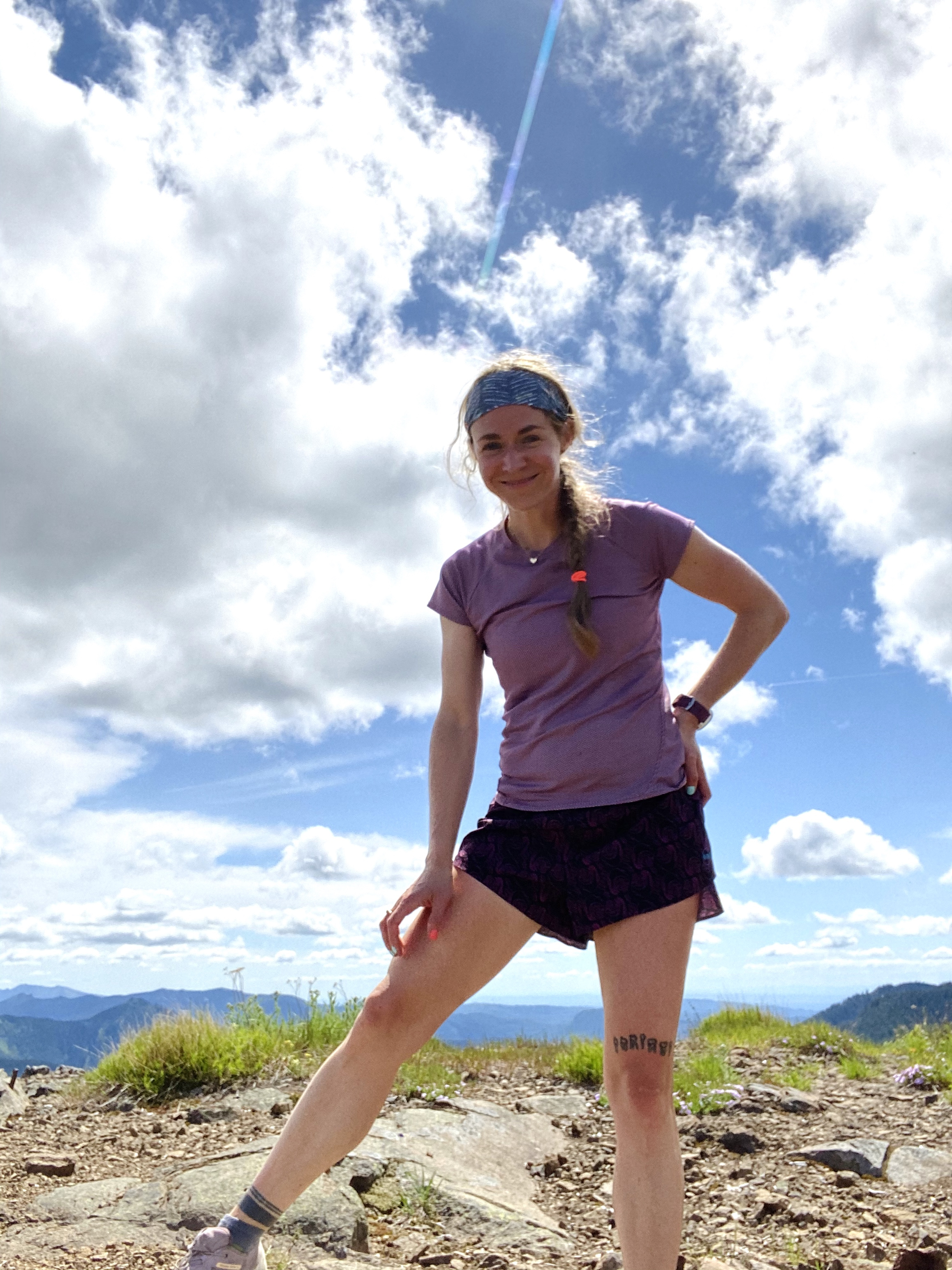
By: Sydney Long
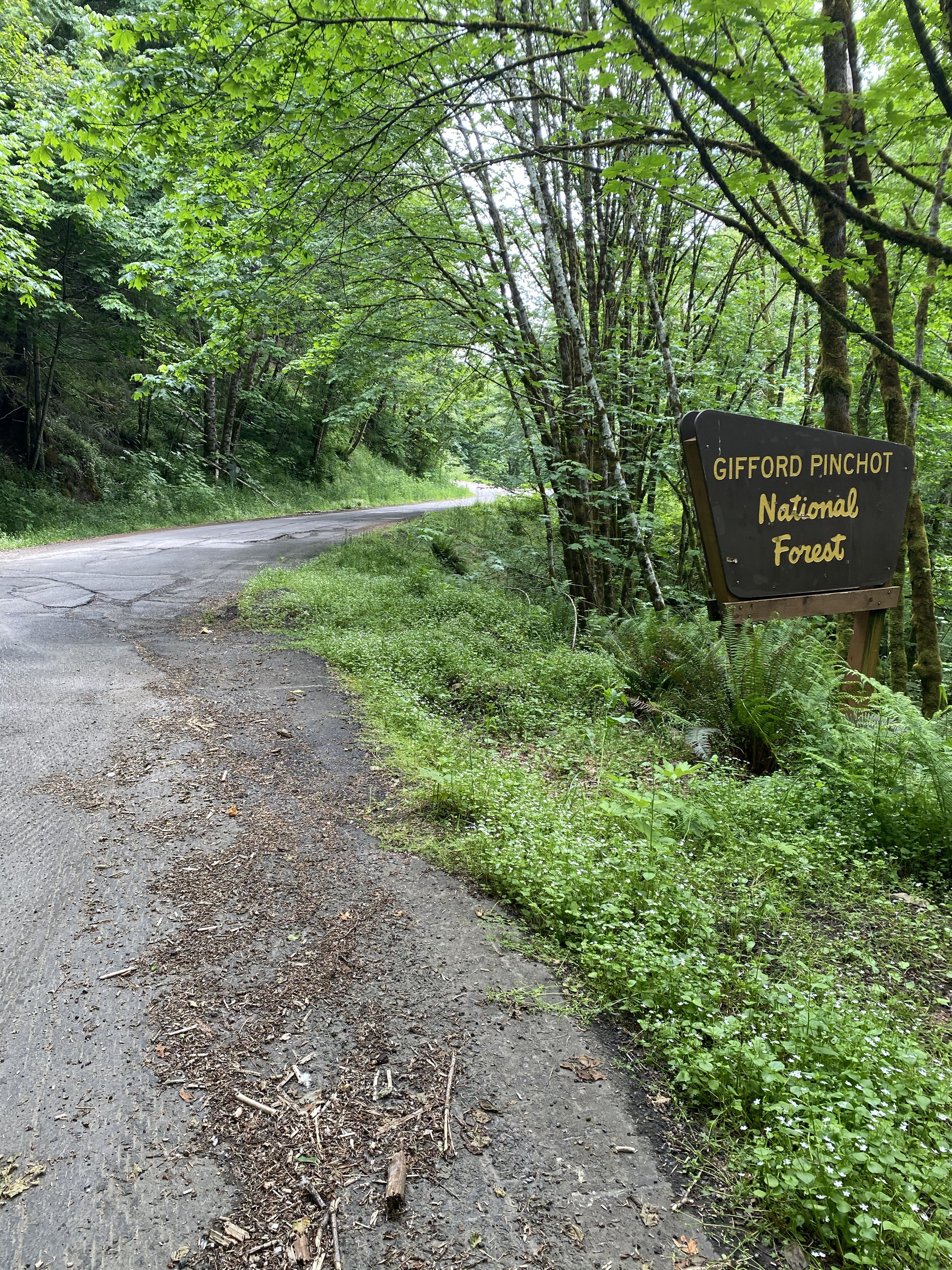
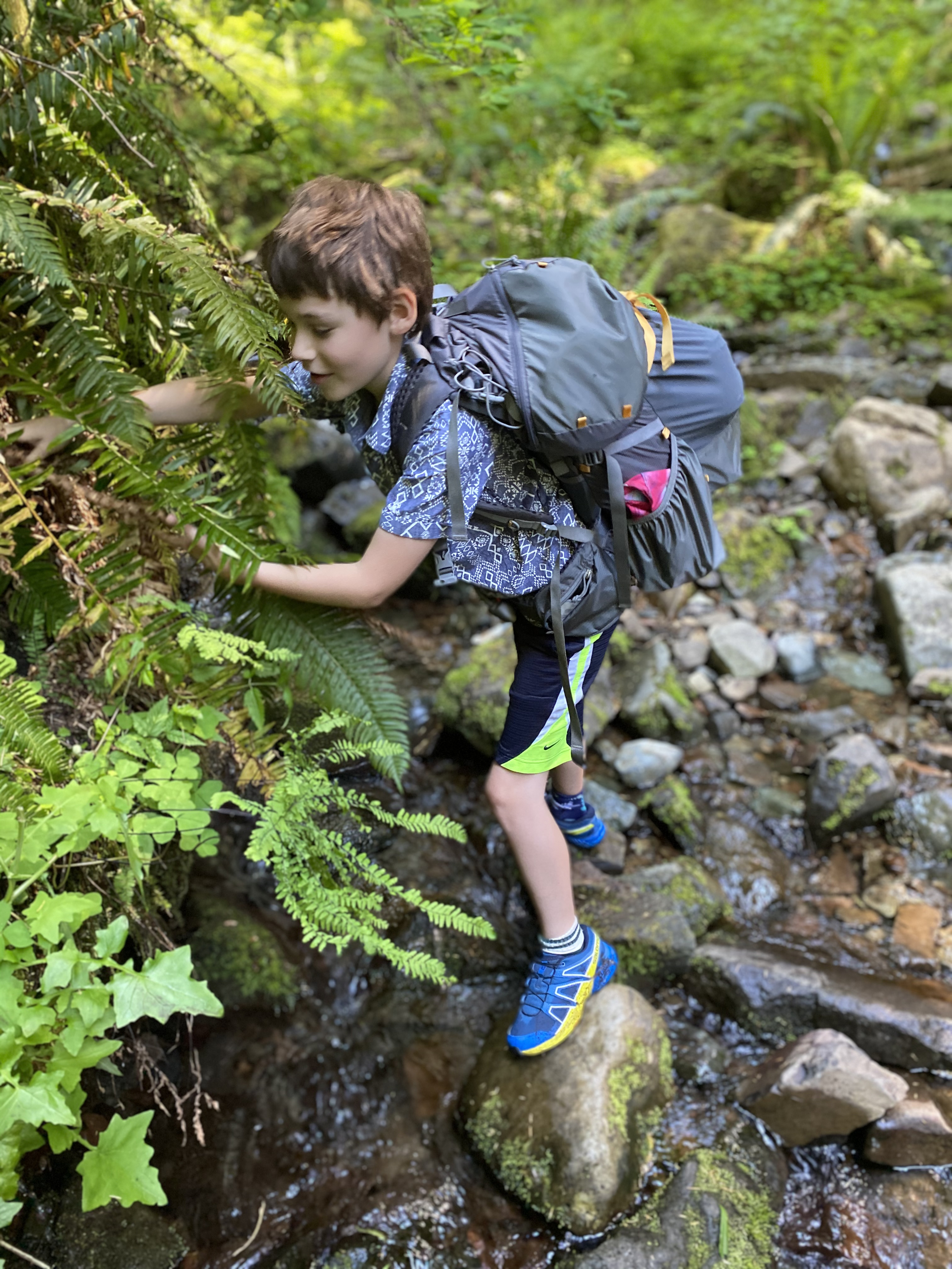
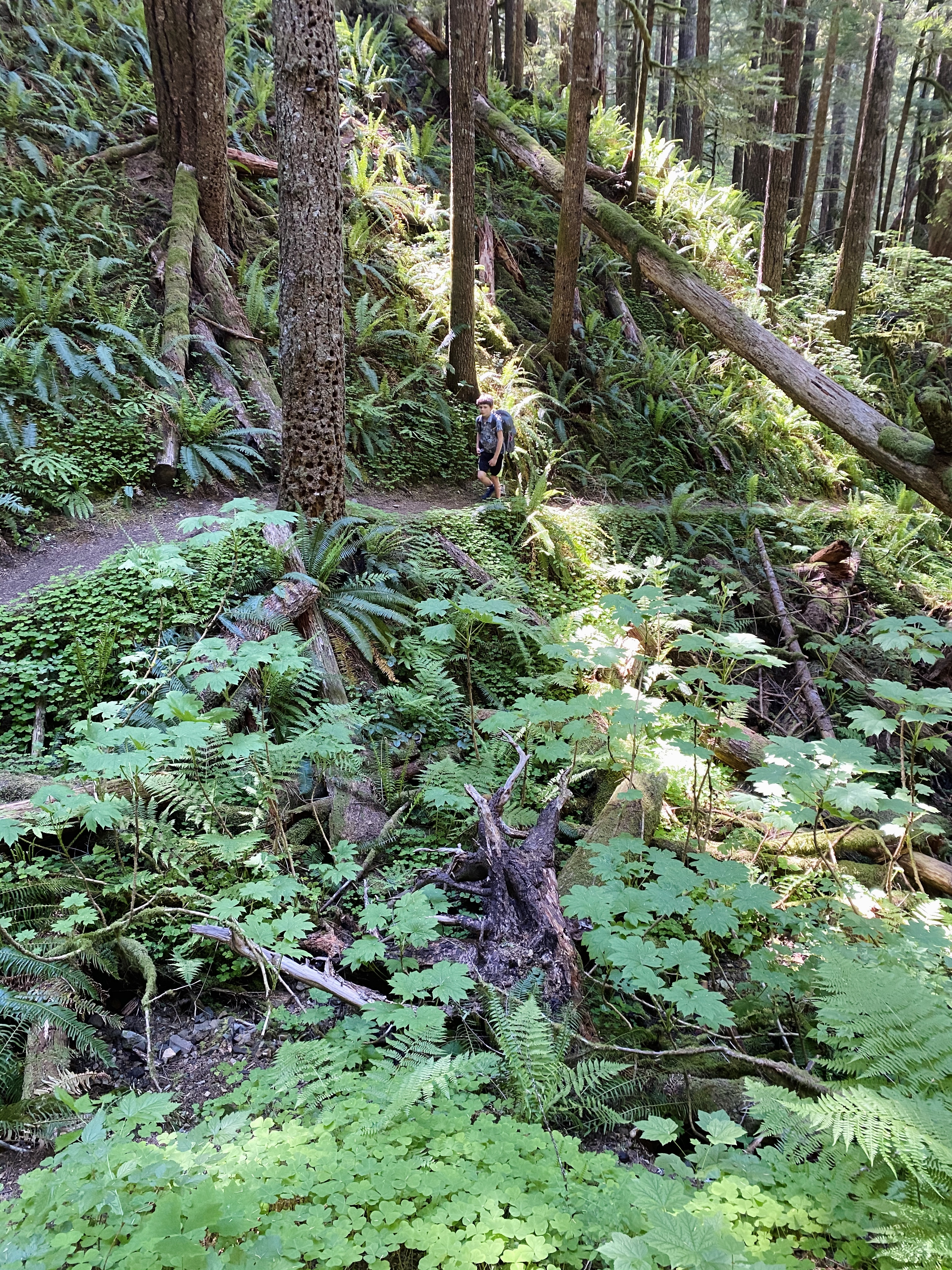
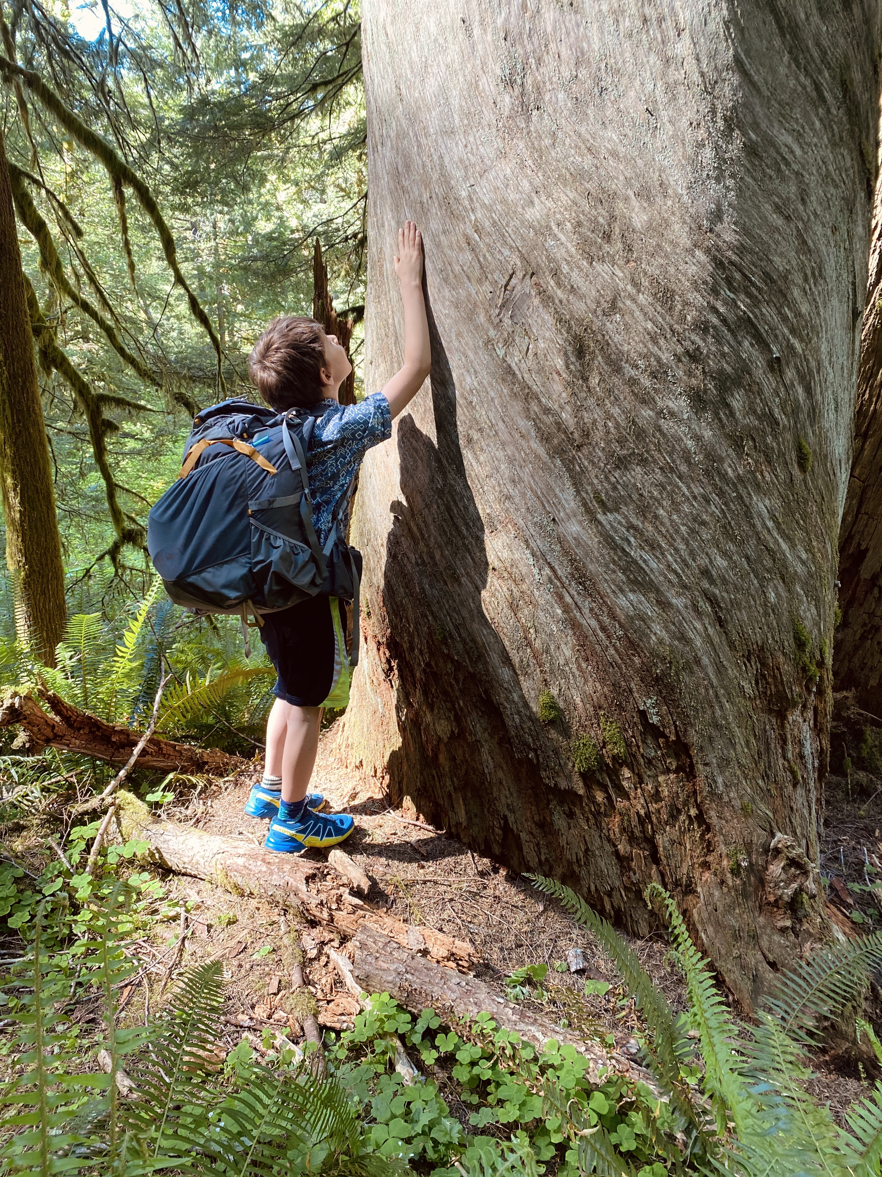
I hadn’t been to the Siouxon (rhymes with Tucson) Creek trails before, and after it re-opened on May 15th I decided to get to know it by running every trail, biking the roads, and hiking in for an overnight with my son, Axel. The area is situated south of Mt St Helens, a 1:15 drive from Portland.
CAMPING/BACKPACKING:
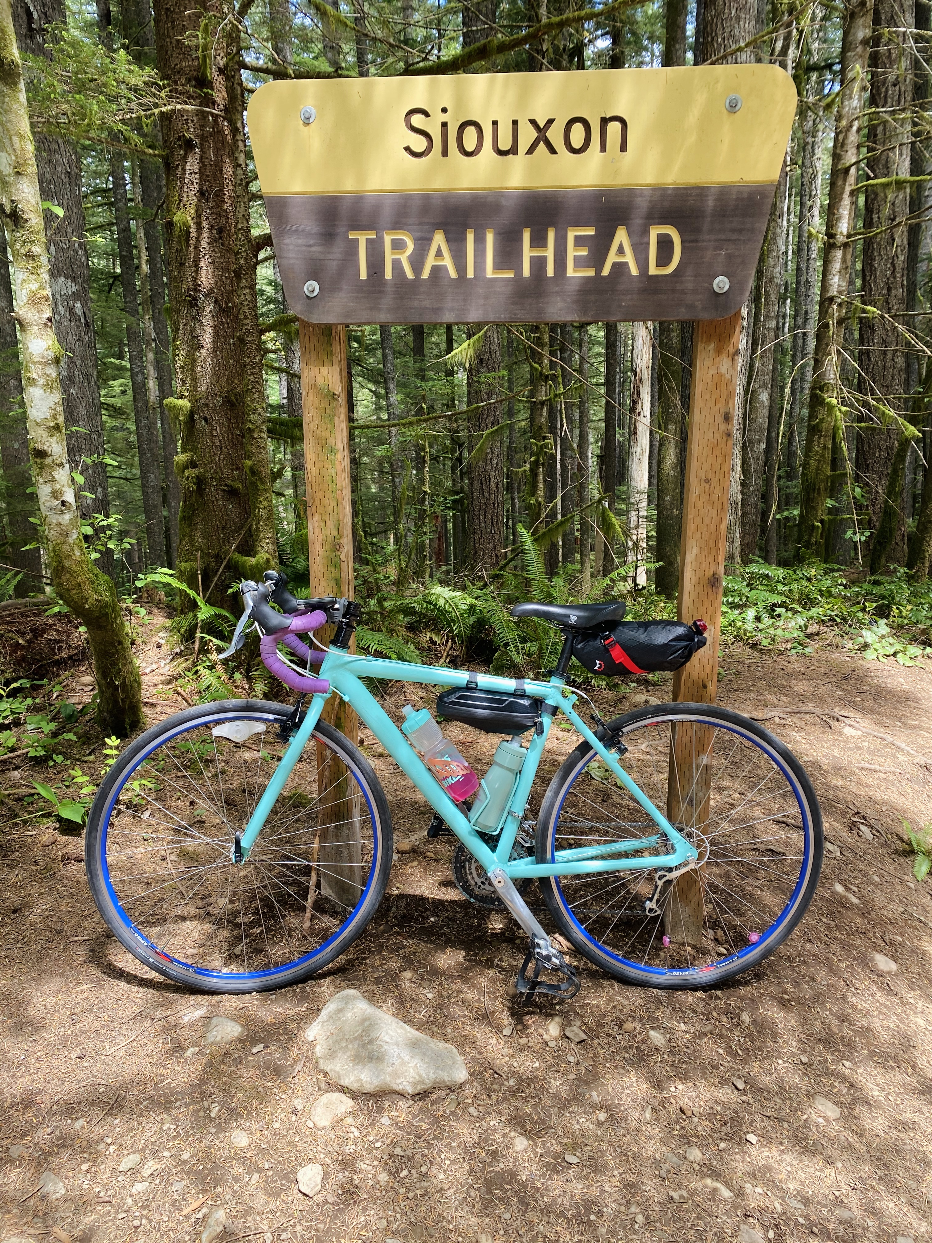
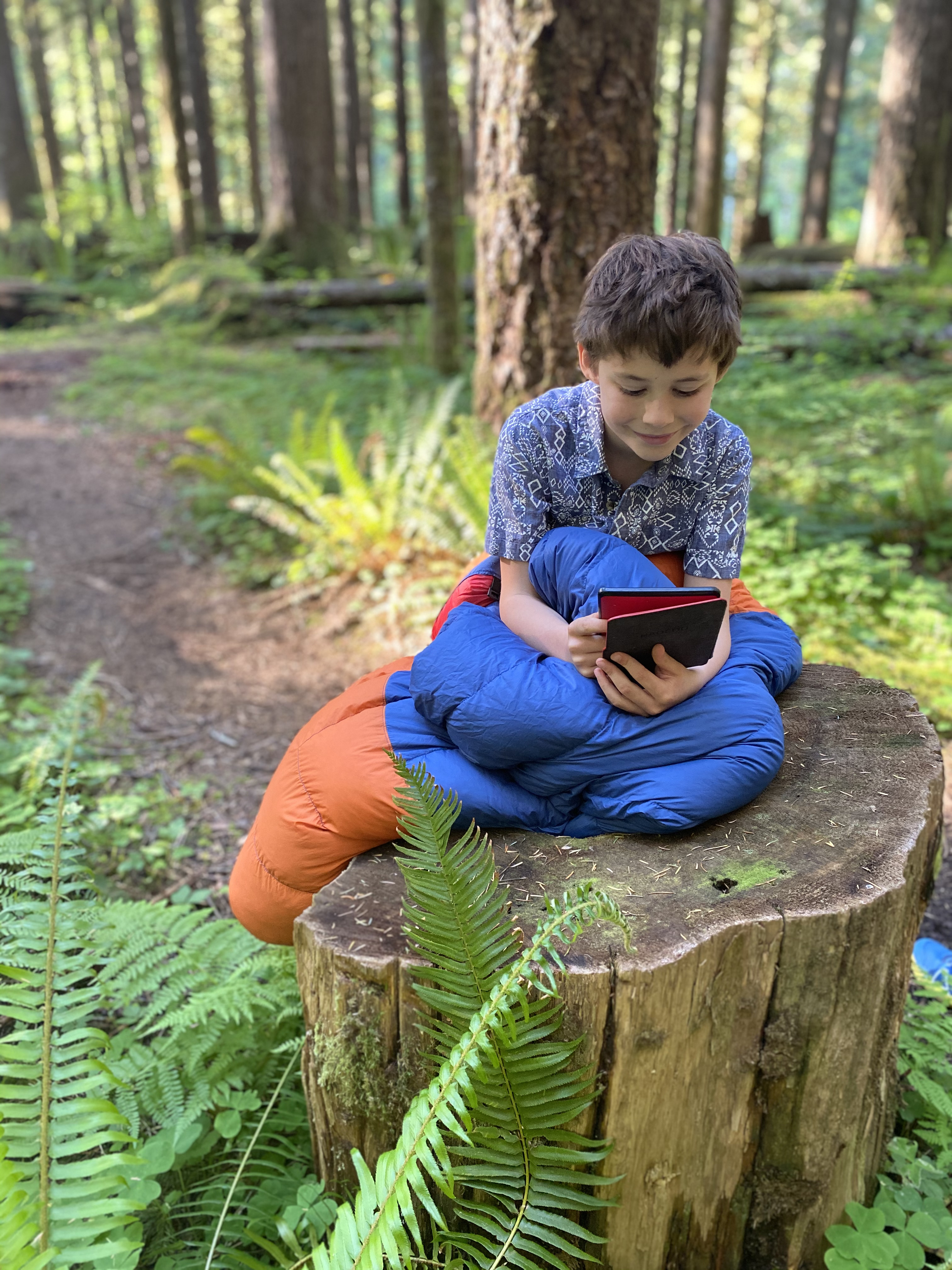
Campsites are first come, first serve and don’t require a permit. I can’t say enough what a great option this is for kids, or for folks who want to camp in a beautiful spot without having to put in a long, strenuous hike to get there.My son and I parked at the first pull-out and hiked in on the #130 trail. We realized that a better (easier) option would be to park at the main Siouxon trailhead (marked by a large yellow and brown sign) 3 miles down the road and start from there. The Siouxon trail from there has several miles of gorgeous, gentle trail that parallels the creek, dotted with multiple campsite options. The first campsites are only about ¼ mile from that parking lot and continue for the next couple miles. The BEST camp spots in my opinion are the several next to Chinook Falls. They are all really nice though, well maintained and thoughtfully spaced with water always flowing close by.
We went on a Thursday and didn’t have a problem snagging a spot, but weekends draw larger crowds in the summer.
TRAIL RUNNING:
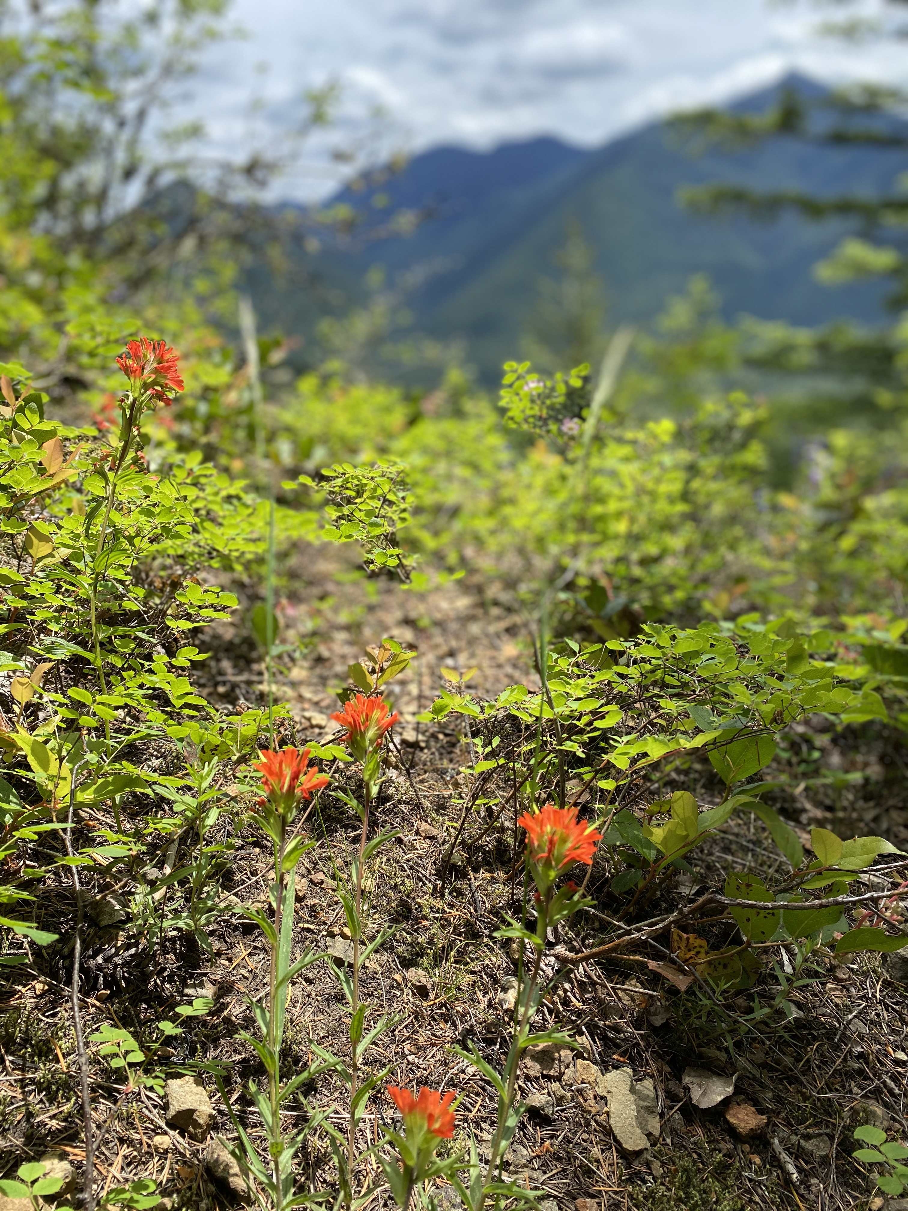
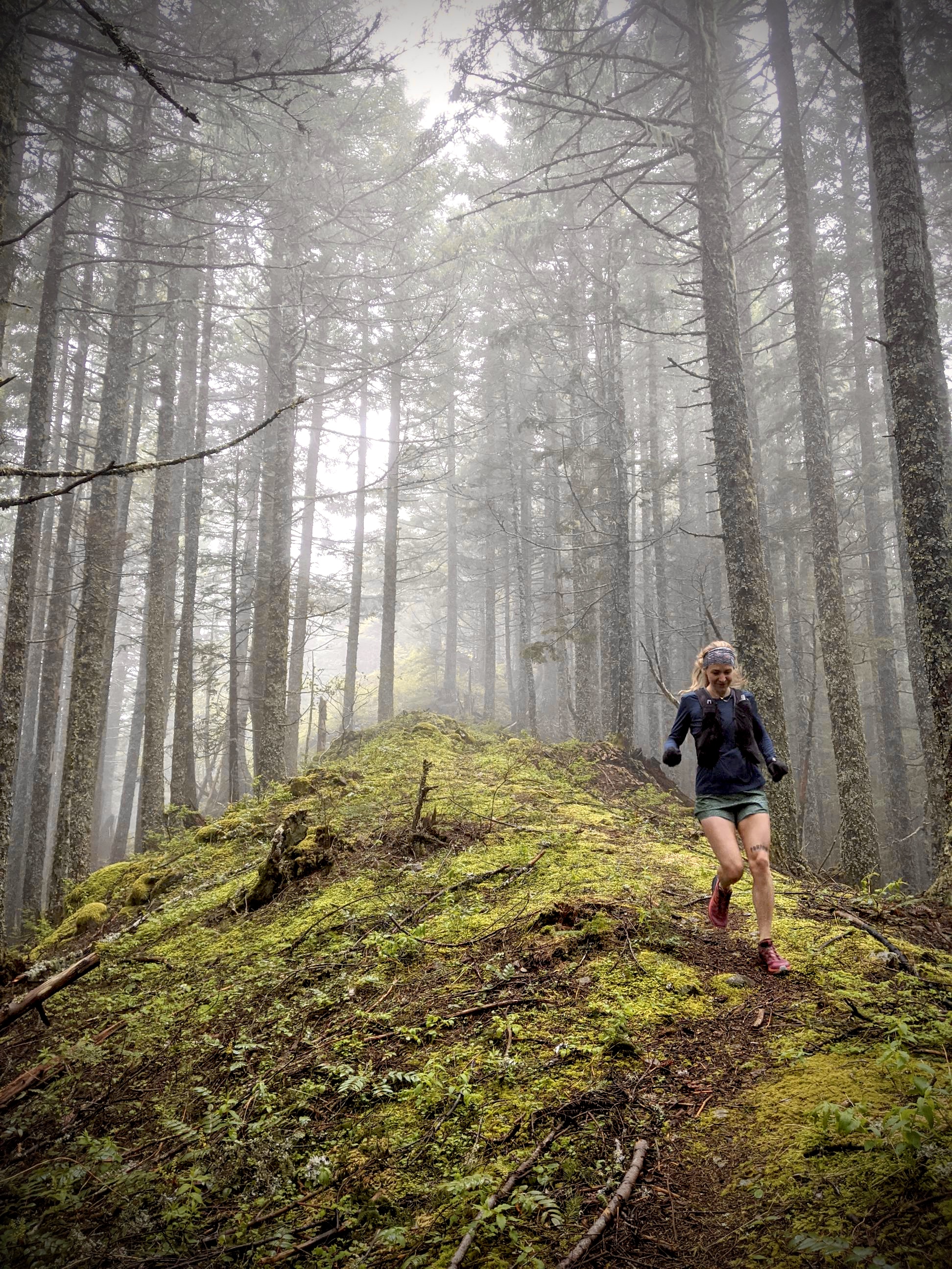
Siouxon Creek Trail–18 miles out and back, (24 miles out and back from #130 trailhead)
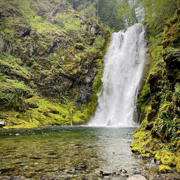
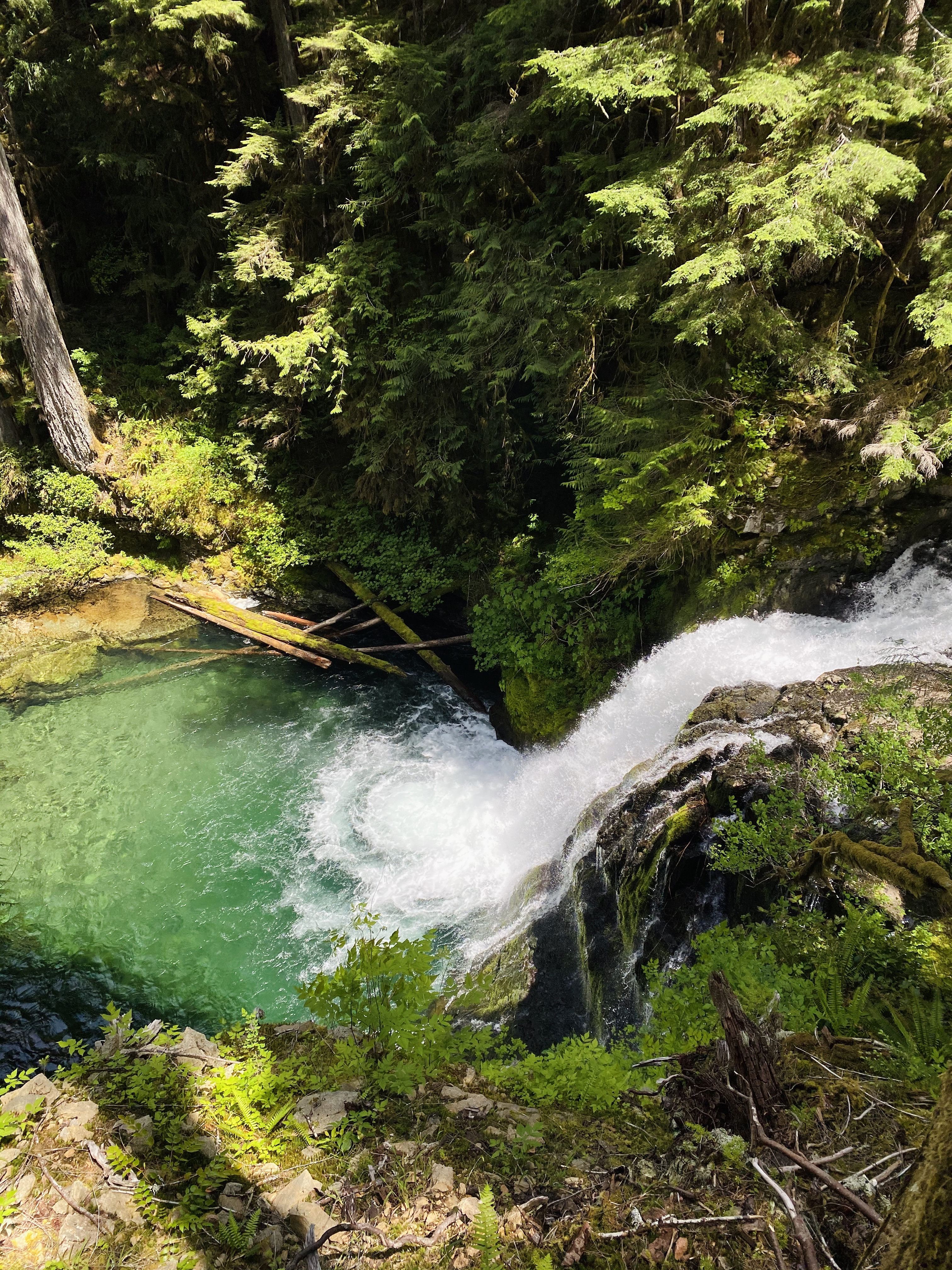
I really enjoyed this trail and would definitely run it again. I started at Siouxon Trailhead with the goal of running it end to end to end. It’s smooth and non-technical and winds along Siouxon Creek. With consistent easy access to water, I barely had to carry any with a pocket filter, which is a rare bonus for long runs. SIouxon Creek is really more of a river than a creek and boasts some spectacular waterfalls! Any crossing of the creek on this trail had a bridge or an easy large log to get across. The trail gradually gains elevation and towards the end it veers away from the creek and starts a grinding uphill climb. Turning around about mile 6 would offer a much easier day! The end of the trail tops out unceremoniously after the relentless 2K foot climb on a packed gravel road (Forest Rd 58). I wanted to get in a solid 20 miles so I ran a mile out and back – the views were great (you don’t get any open views on the trail) and I was glad I did. Lots of runnable singletrack stretches!
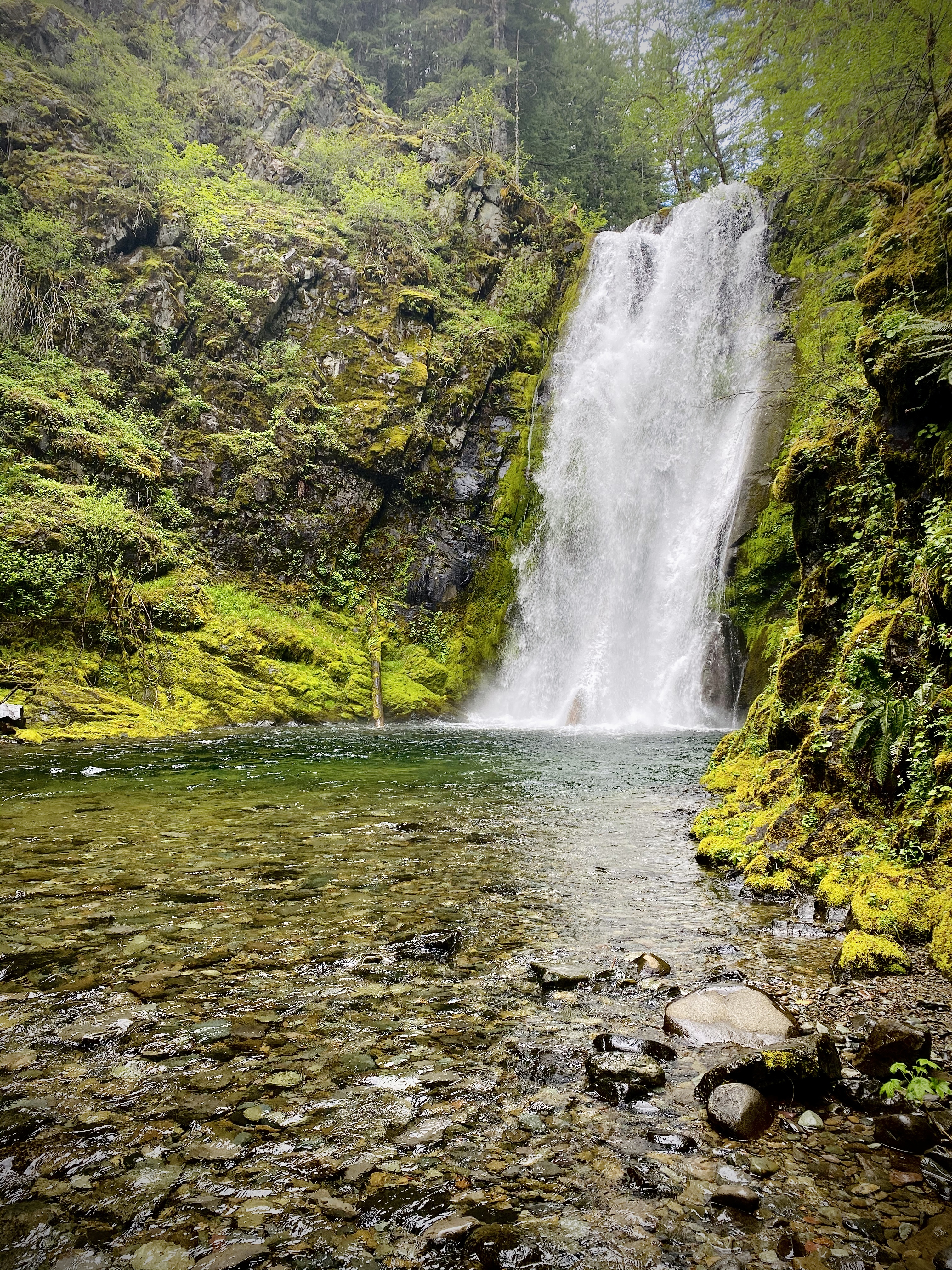
Chinook Falls
I carried a Be Free Katadyn filter for water. There are plenty of places to refill.
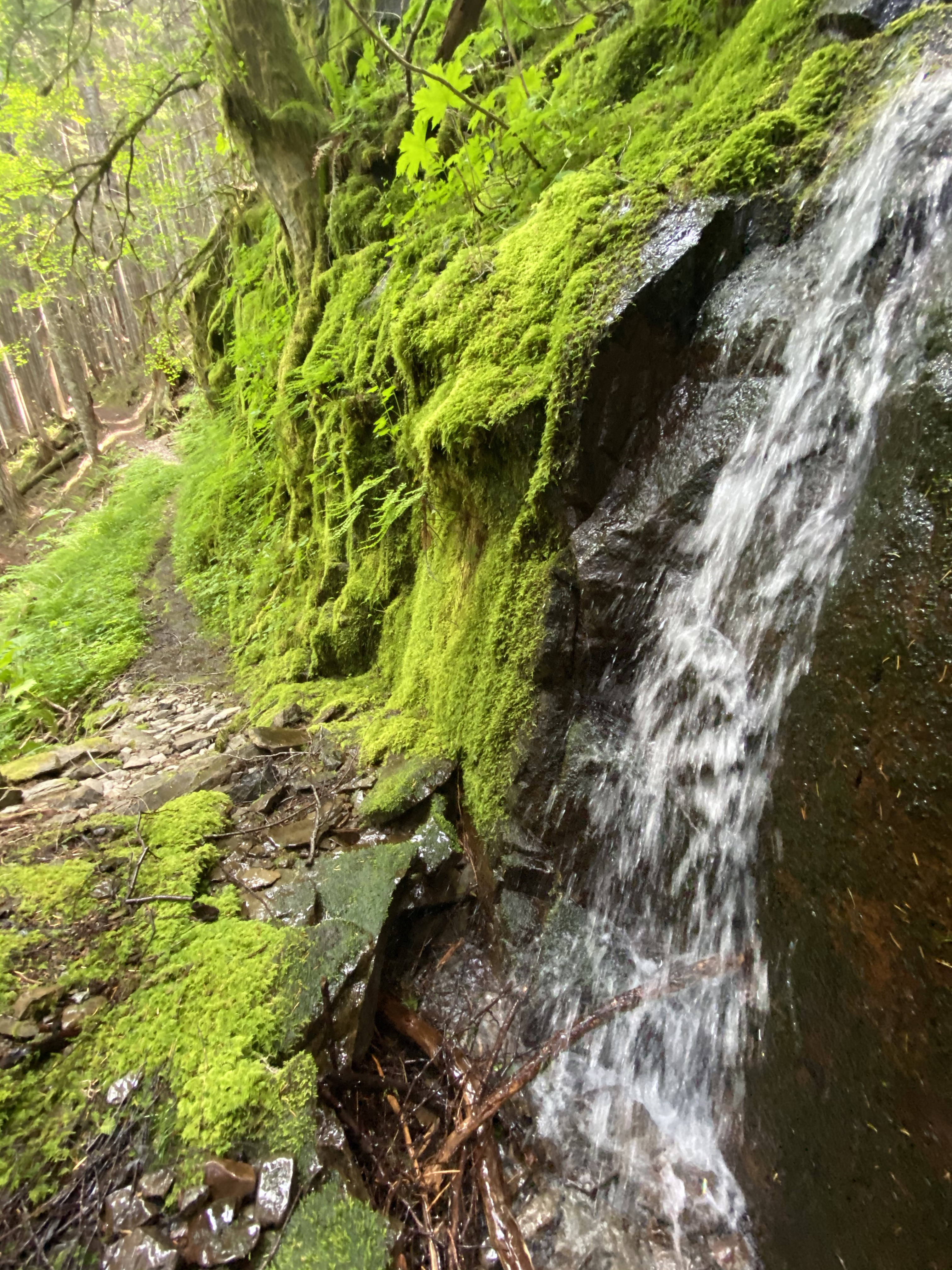
4th or 5th(?) waterfall along the SC trail
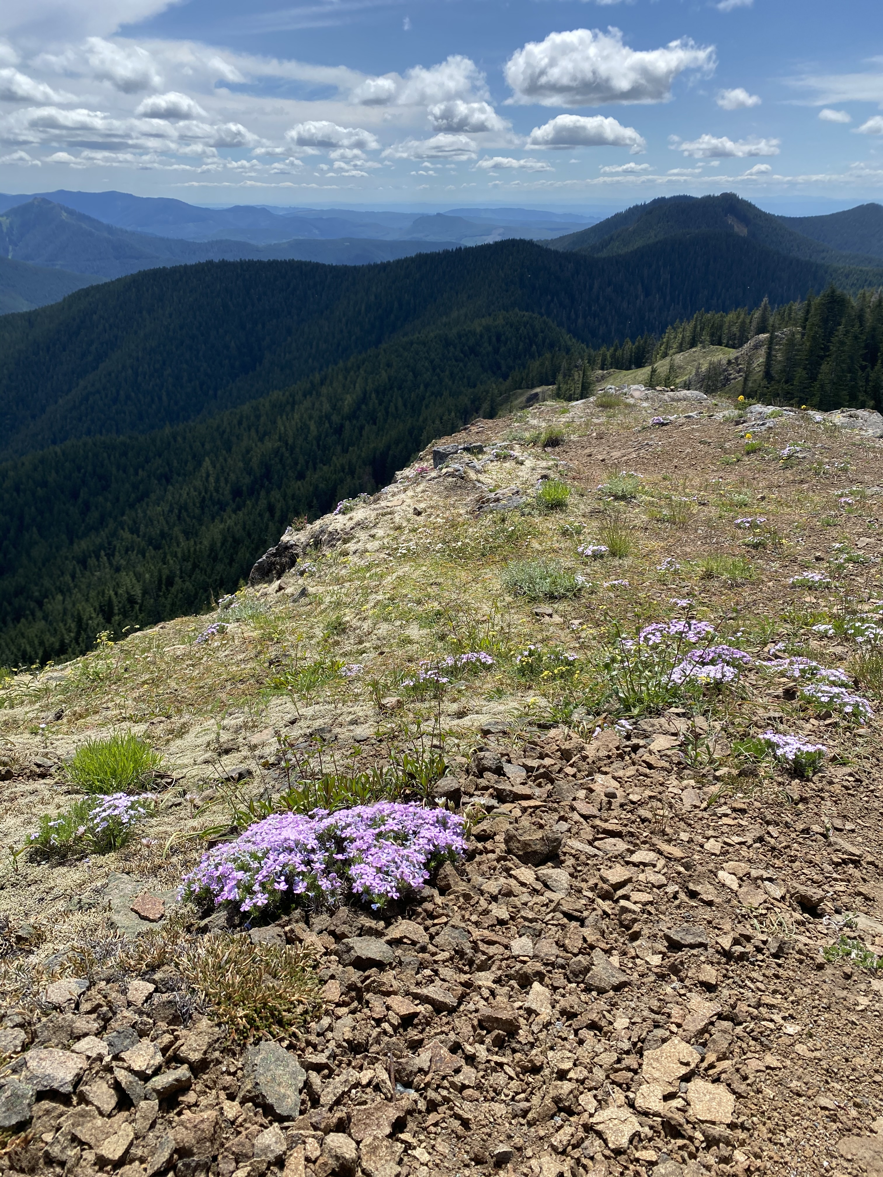
Siouxon Peak Loop (21 miles)
This lollipop loop starts from the Siouxon #130 trailhead (right after a hairpin turn, marked by a small sign. 3-4 parking spots in a pullout.) 1.3 miles in there is a junction. Early in the season it’s recommendable to do the loop clockwise, or towards Huffman Peak, so that crossing Siouxon Creek is only about a mile in (instead of at the end of the loop). This is the only creek crossing that doesn’t have a bridge or logs to get across. May 15th the creek was too high to cross safely, but the water level had dropped sufficiently by June when I went back to try again.
The climb up to Siouxon Peak is long and steep but opens up. It feels pretty remote – I didn’t see another person until I hit SC trail. The descent has some blown-down trees to climb over but enough runnable stretches in between to make it fun! I had read reports that there was a landslide across the trail just east of Siouxon Peak that was difficult to cross, but I didn’t run into anything that gave me any hesitation. The descent finally hits Chinook Falls and the return to the junction is easy and scenic.
Horseshoe Ridge
My friend Aaron and I checked out this 6 mile stretch of trail that ascends off of the Siouxon Creek trail to the ridge and then descends to meet the SC trail again.
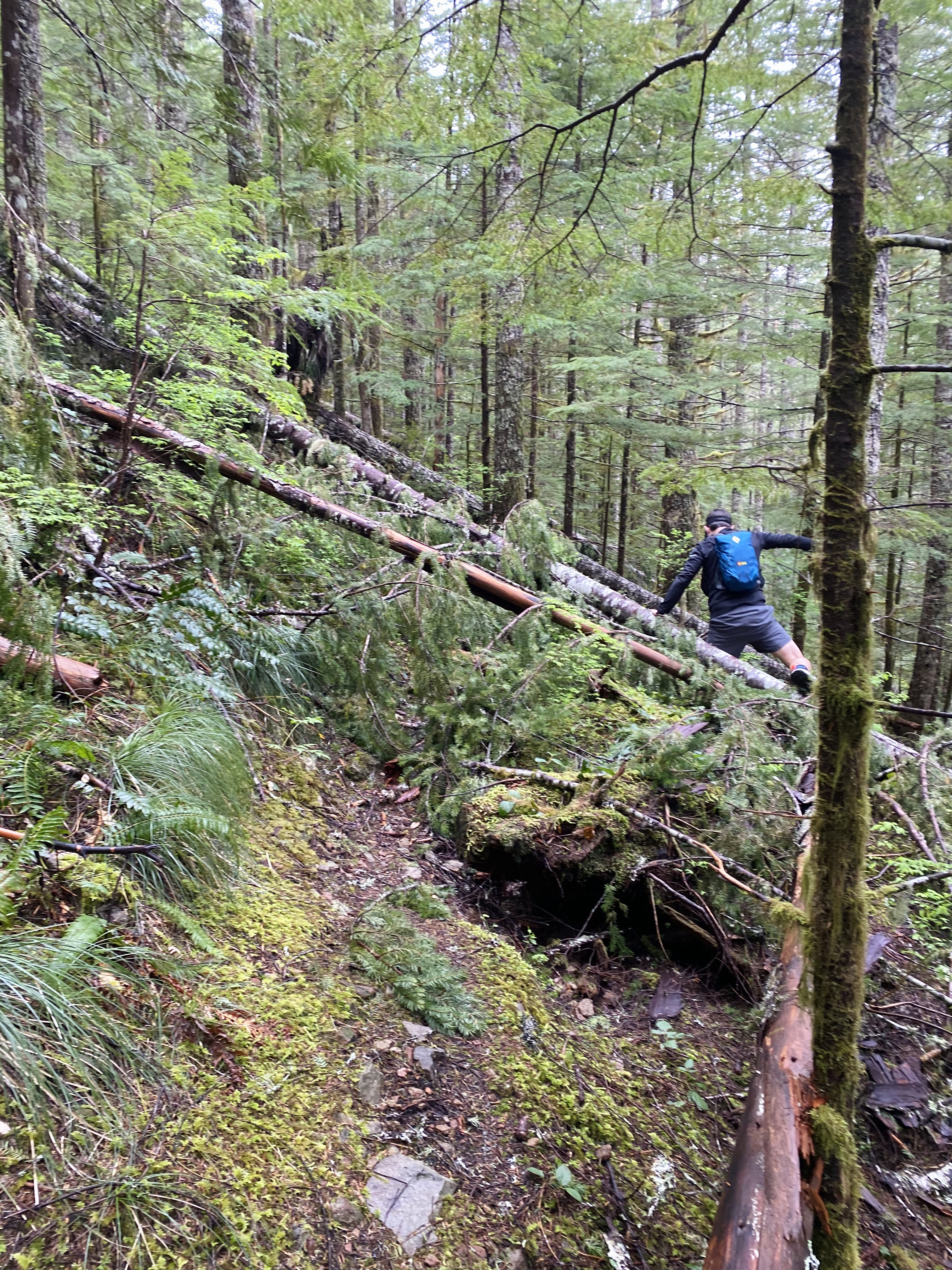
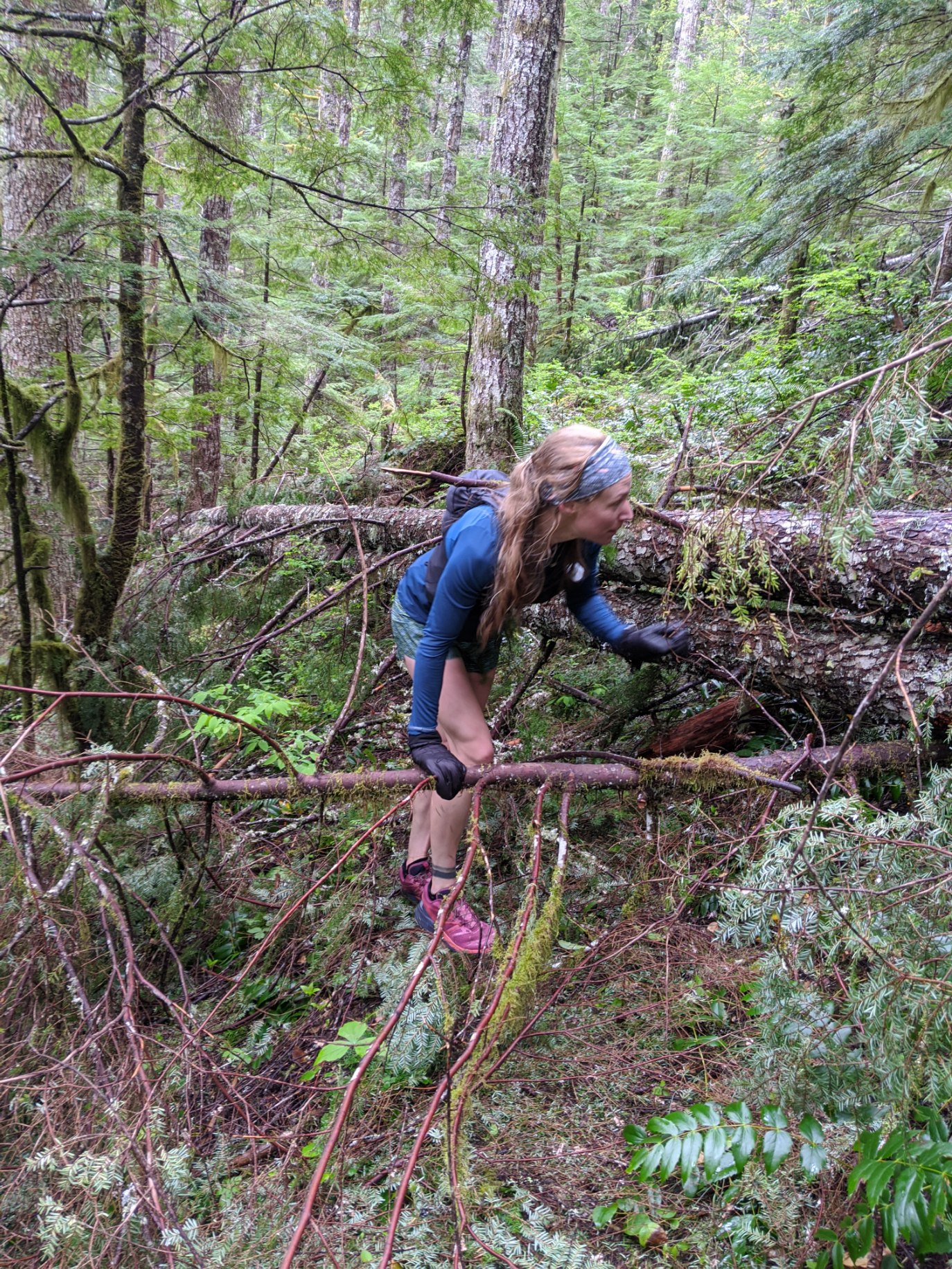
Almost all of the trail looked like this! I can’t really recommend this trail for obvious reasons, it needs quite a bit of work. Also, the ridge never opens up to any views like we were hoping. We still had fun even if it was Type 3 ☺.
Literally the only stretch of Horseshoe Ridge with no tree debris.
BIKING:
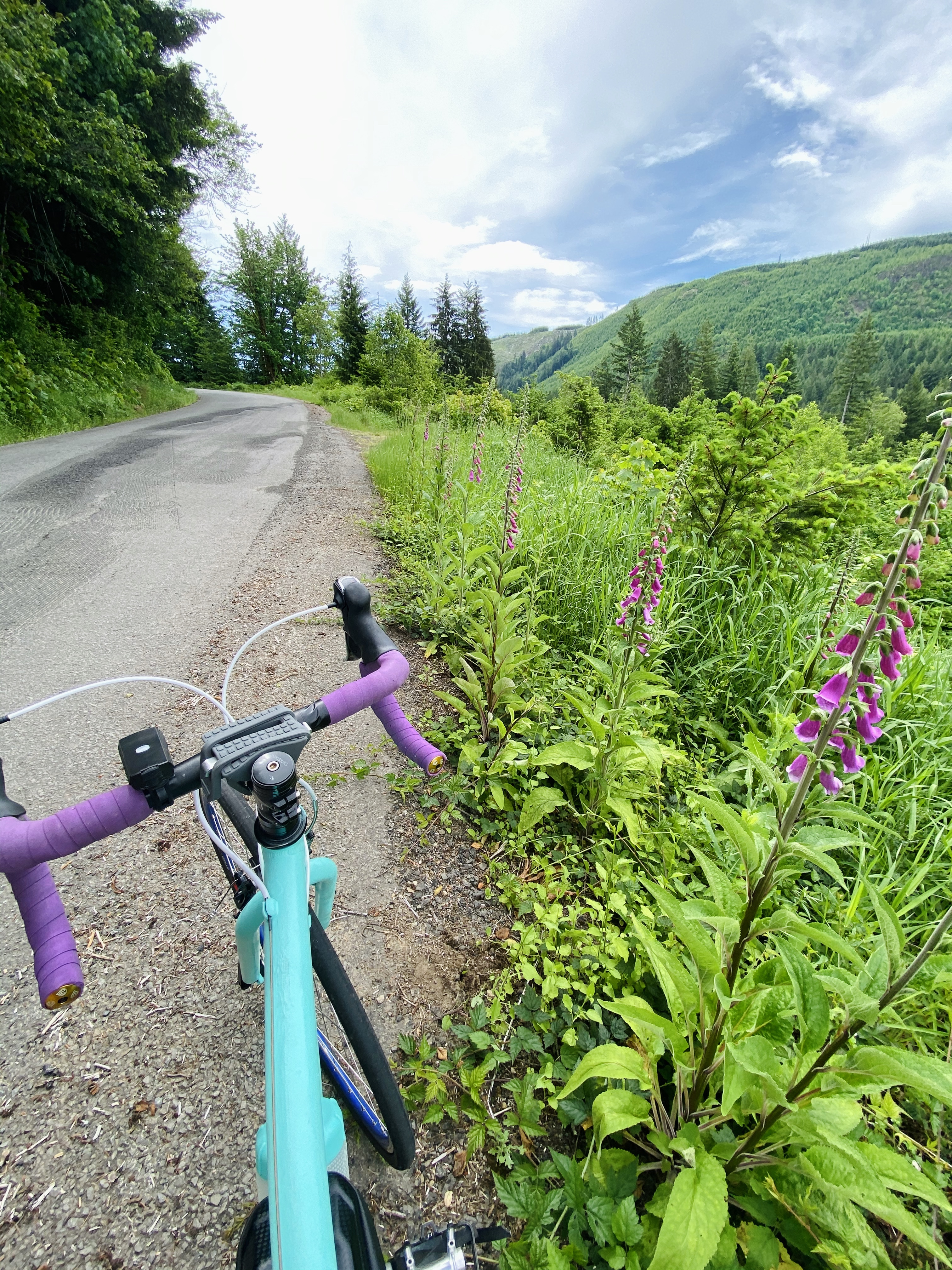
On both of these long days I biked to the trailhead from Amboy and Fargher Lake, which is 20-25 miles each way. An even longer ride could be done by parking at Moulton Falls. I loved this bike ride – the roads were very low traffic, paved, and well-maintained, (some pothole sections are ruthless in a car but easy to go around on a bike.) From the Siouxon Trailhead especially, it was quite easy to stash my bike in the forest and I wasn’t worried about it at all. The #130 trailhead is more on a hillside so it just took a little more work to make my bike hidden and accessible, but not a problem. I highly recommend biking out to the trailheads; the return trip is a long well-deserved cruise downhill. Off note, mountain biking is permitted on the trails.